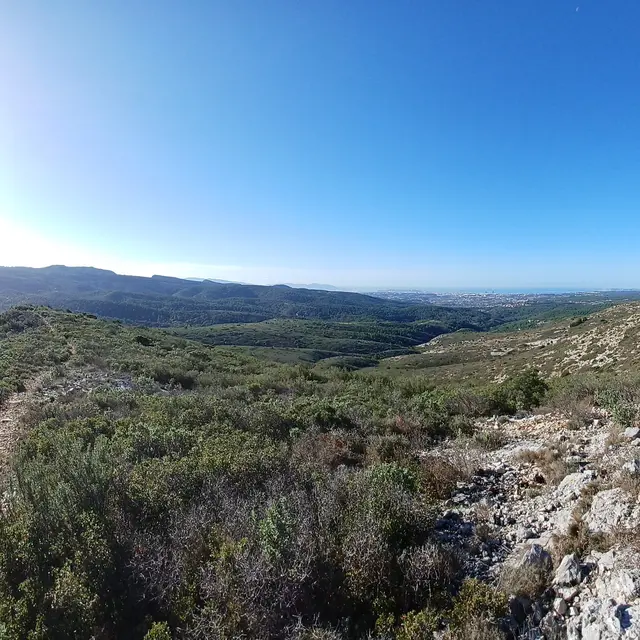
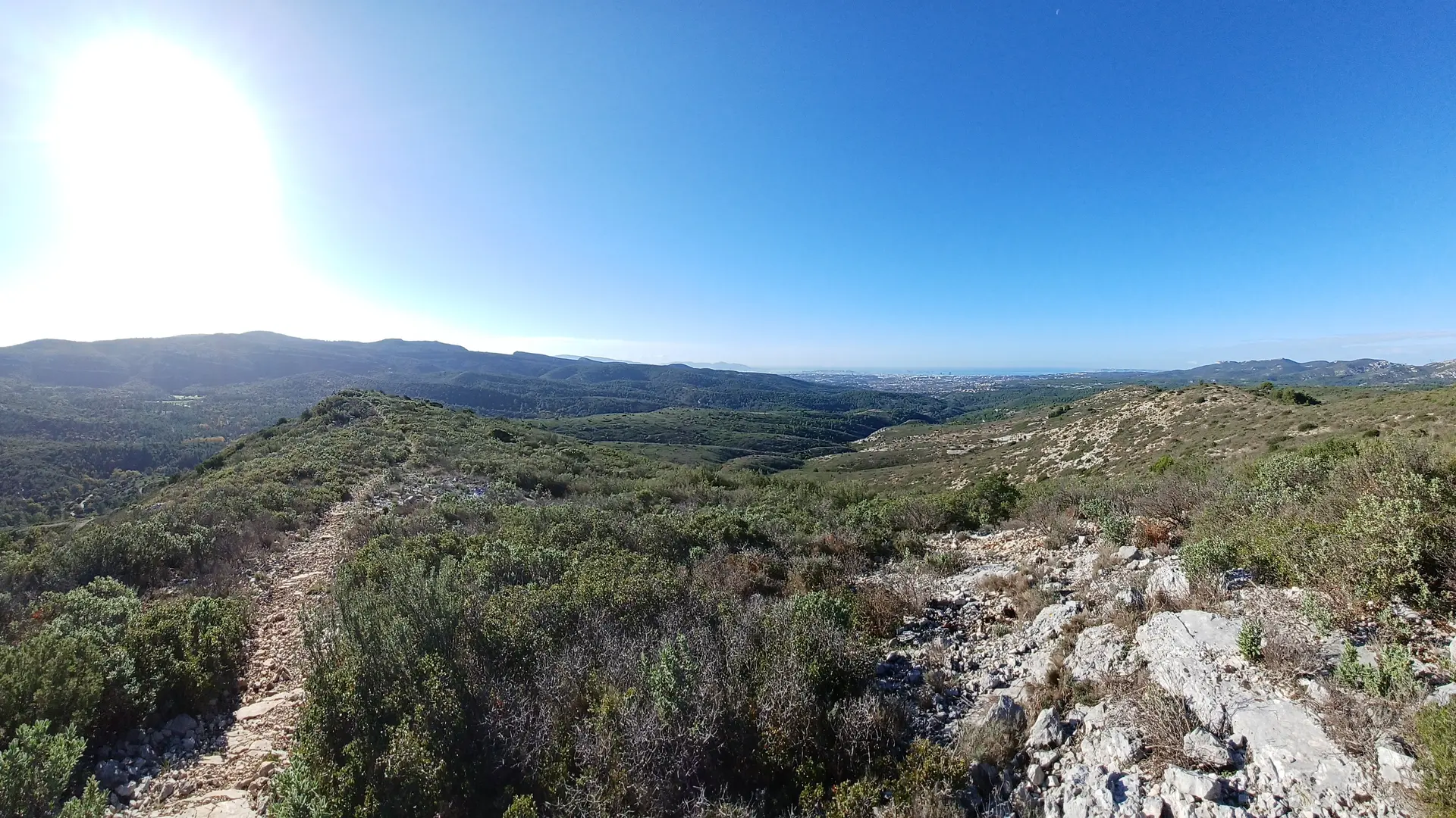
The pace, the breathtaking views - you've earned it, you've got to keep it up!
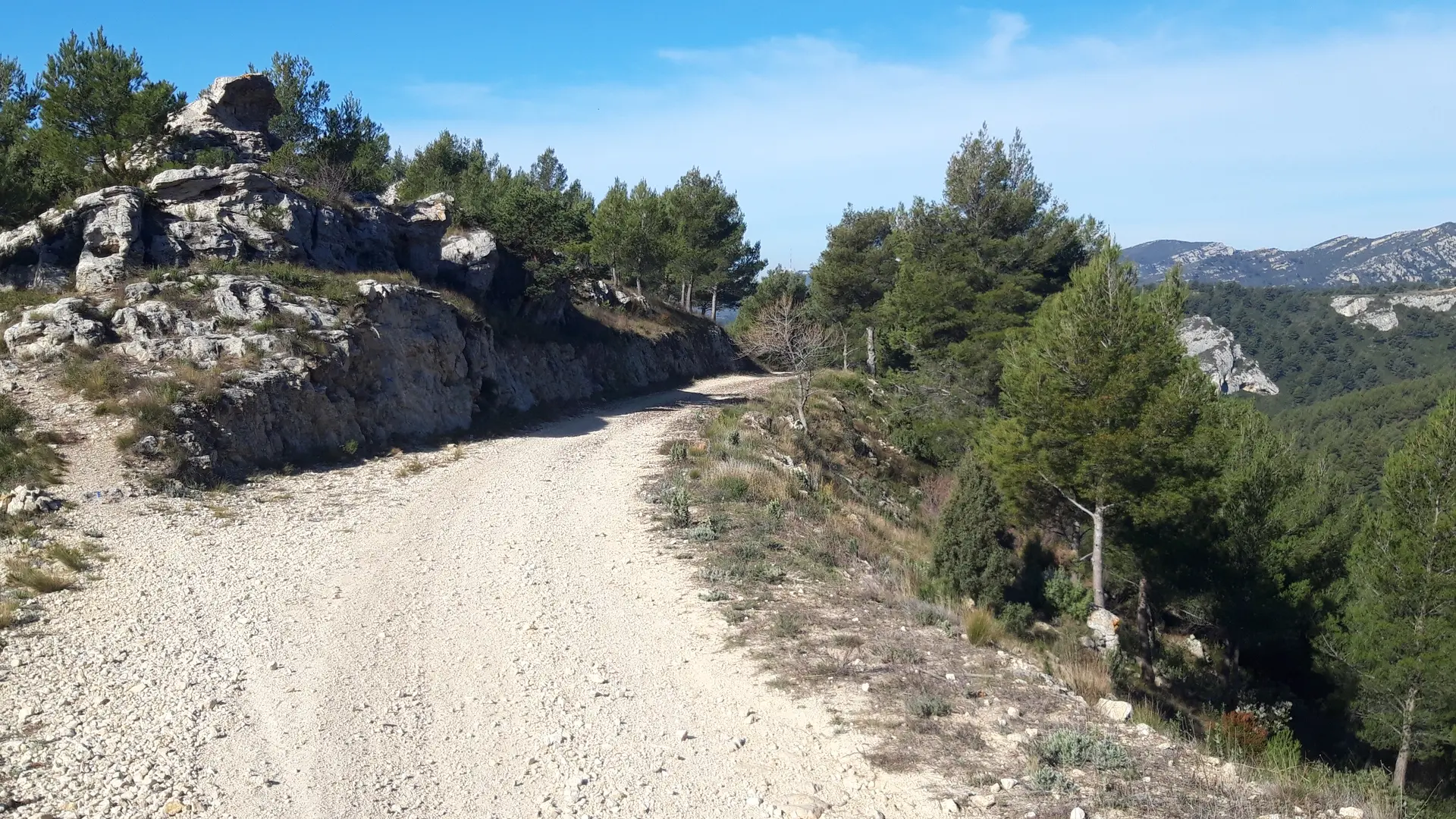
Although the course measures just over 14 km, it remains relatively accessible. After a pretty bumpy 8 km, including the ascent and descent, the rest of the route is easy, so take the opportunity to admire the views over the villages. The best runners will run the whole course, and for the others it's a good workout before tackling the more demanding routes.