This loop, which takes in almost every village and hamlet in the canton, was named in honor of Abbé Paul Louis Rousset, guide and great mountaineer. It's a must for lovers of the region.
Abbé Paul Louis Rousset, guide and great mountaineer, has written numerous reference works on the region. His book "Au Pays de la Meije", which reads like a novel, tells the story of the region since prehistoric times.
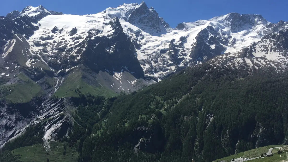
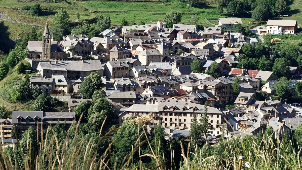
From the La Grave tourist office (1470 m), take the departmental road for a few metres, then turn left just after the fountain towards the Romanche. Cross the river, then take the path that climbs to the left towards Villar d'Arène.
The path winds upwards and follows the entire GR 54 tour de l'Oisans. Follow it along the Romanche and cross it at the Pont des Brebis, near the Pied du Col climbing site.
Join the hamlet of Pied du Col, then take a good track on the left towards Les Cours. Cross the departmental road, then turn right 20 m along the path leading to Les Cours.
At the hamlet's fountain, turn right, then right again 20 m further on. At the end of the hamlet, take the path that climbs to the left towards small copses.
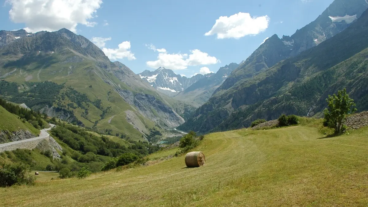
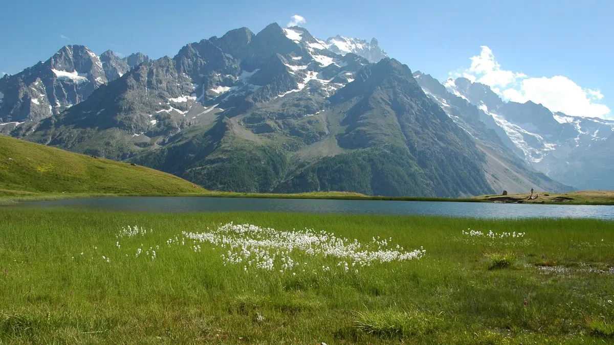
Cross the carriageway coming from the lake parking lot and take the path opposite. This brings you to Lac du Pontet (1985 m), which you round to the left.
Pass a water intake and follow the small path that leads up the mountainside to the Col de l'Aiguillon.
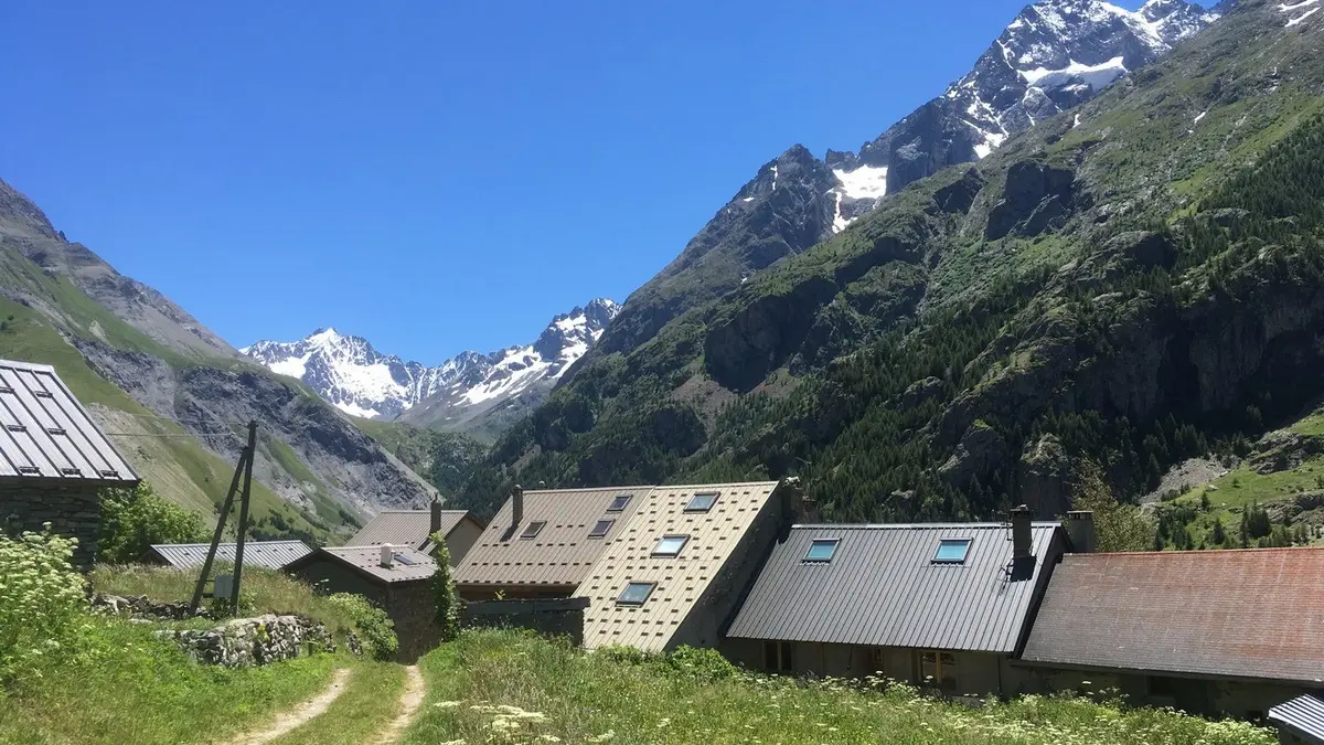
Then take the path down towards Valfroide, cross the Maurian torrent and turn left onto the good track leading to Les Hières.
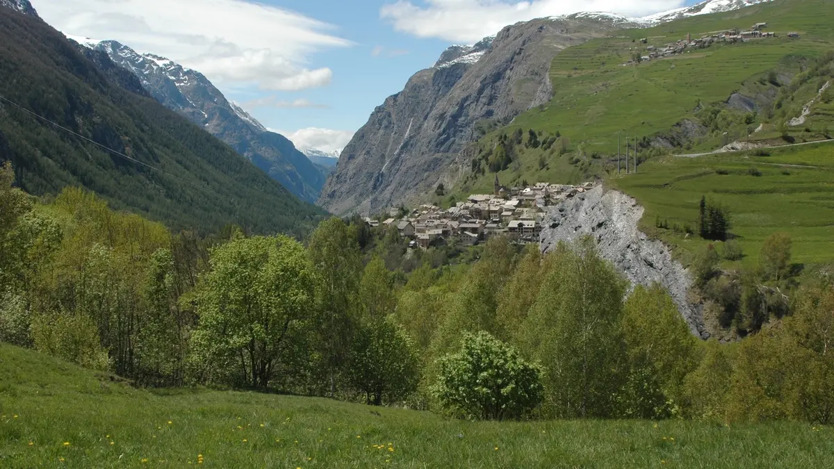
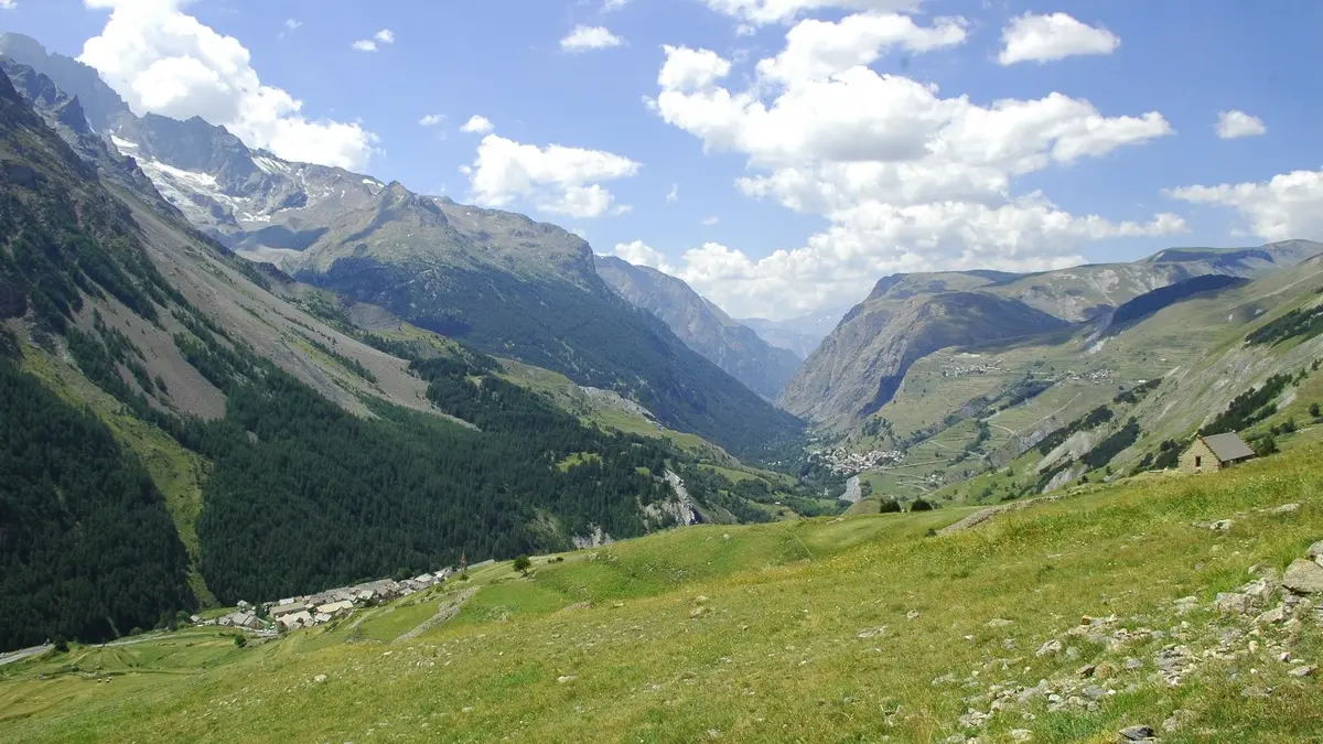
Just before entering the village, turn right onto the narrow path leading up to Celle des Juges, cross this hamlet of a few houses and continue along the path towards an isolated farm.
Walk past it, then follow the level path down to the hamlet of Les Clots. At the top of Les Clots, fork right to reach the slate quarries, which you cross (cable).
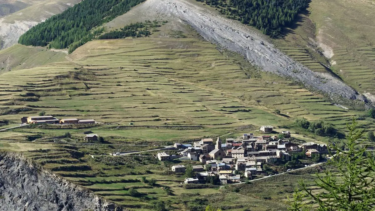
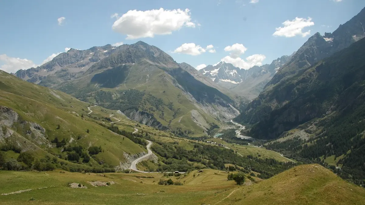
Once you've reached the large track under the forest, turn left to reach the orientation table and then the oratory at road level. Take this road to the right, cross the Chazelet and then, at the bottom of the village, turn left to take the lane (rue de Serre) which skirts the village to the south. This takes you to the bottom of the village (lieu-dit Pralong), then on to the little chapel of Notre-Dame de Bon Repos, which overlooks the Saut de la Pucelle waterfall.
Wind down towards Les Fréaux, cross the main road and then the village. Cross the Romanche and complete the route by following the small road that runs alongside the Romanche; at the bridge below La Grave, climb back up into the village to reach your starting point.
This loop is described starting from La Grave, but you can decide to "attack" it wherever you like, depending on where you live.