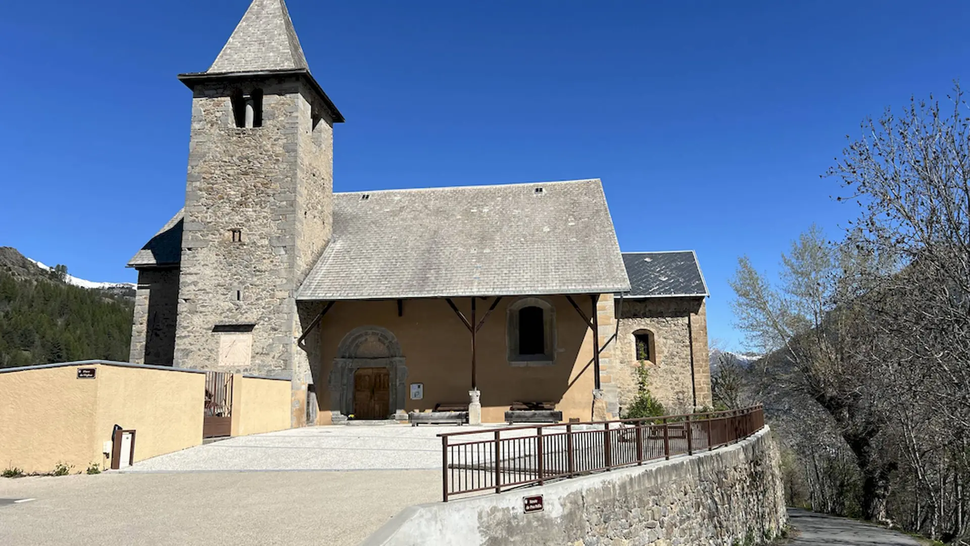
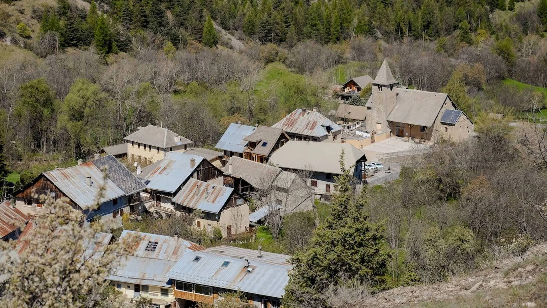
The village of Champcella appears to have always been close to an important communication route: the Via Domitia; traces of human occupation dating back to the 1st century AD have been found there !
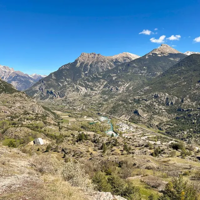
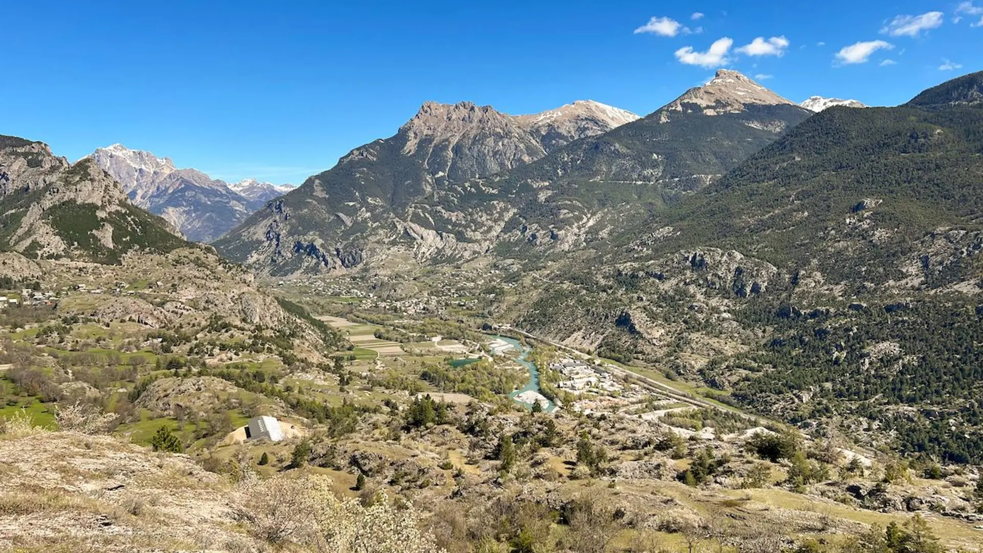
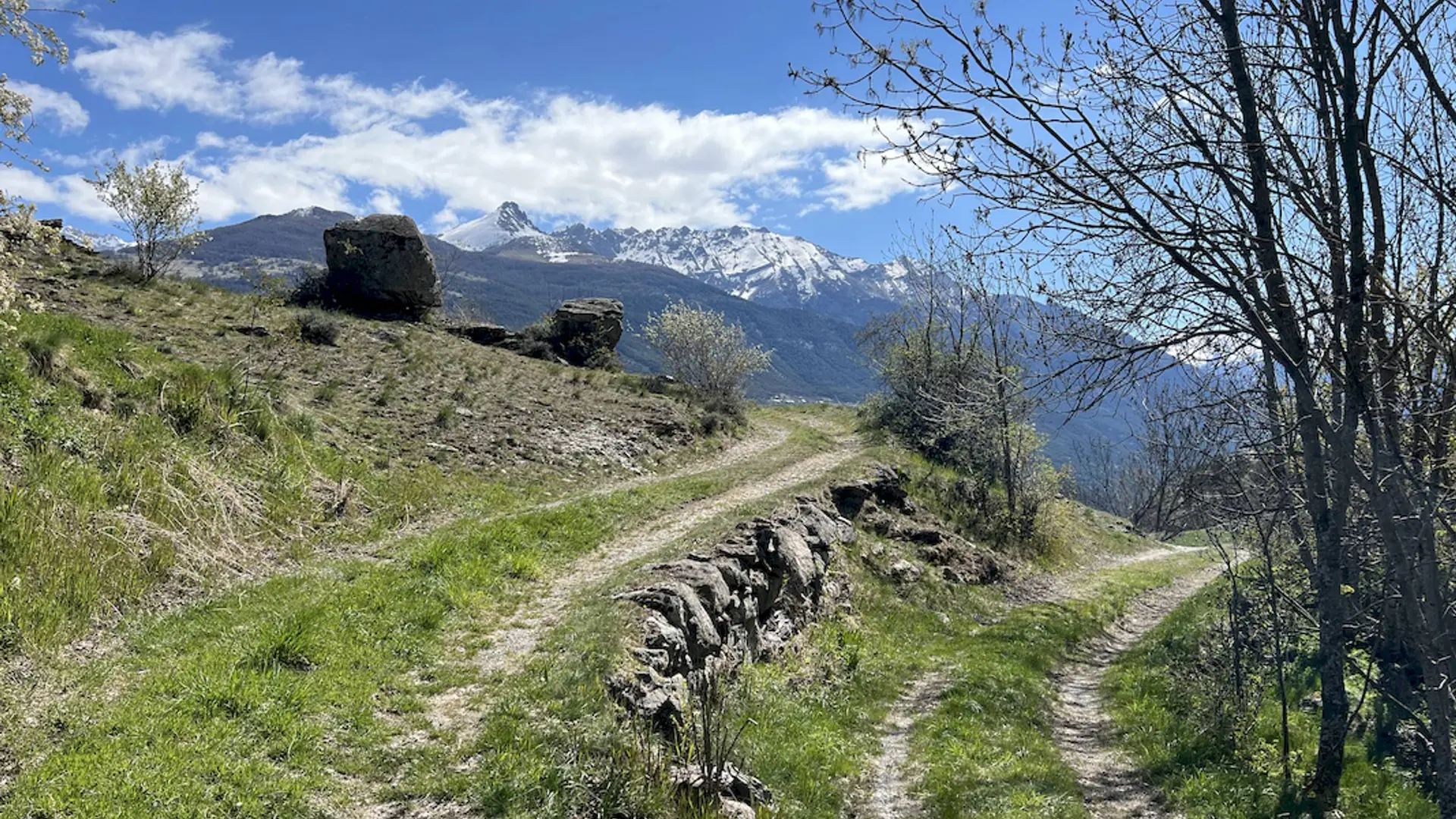
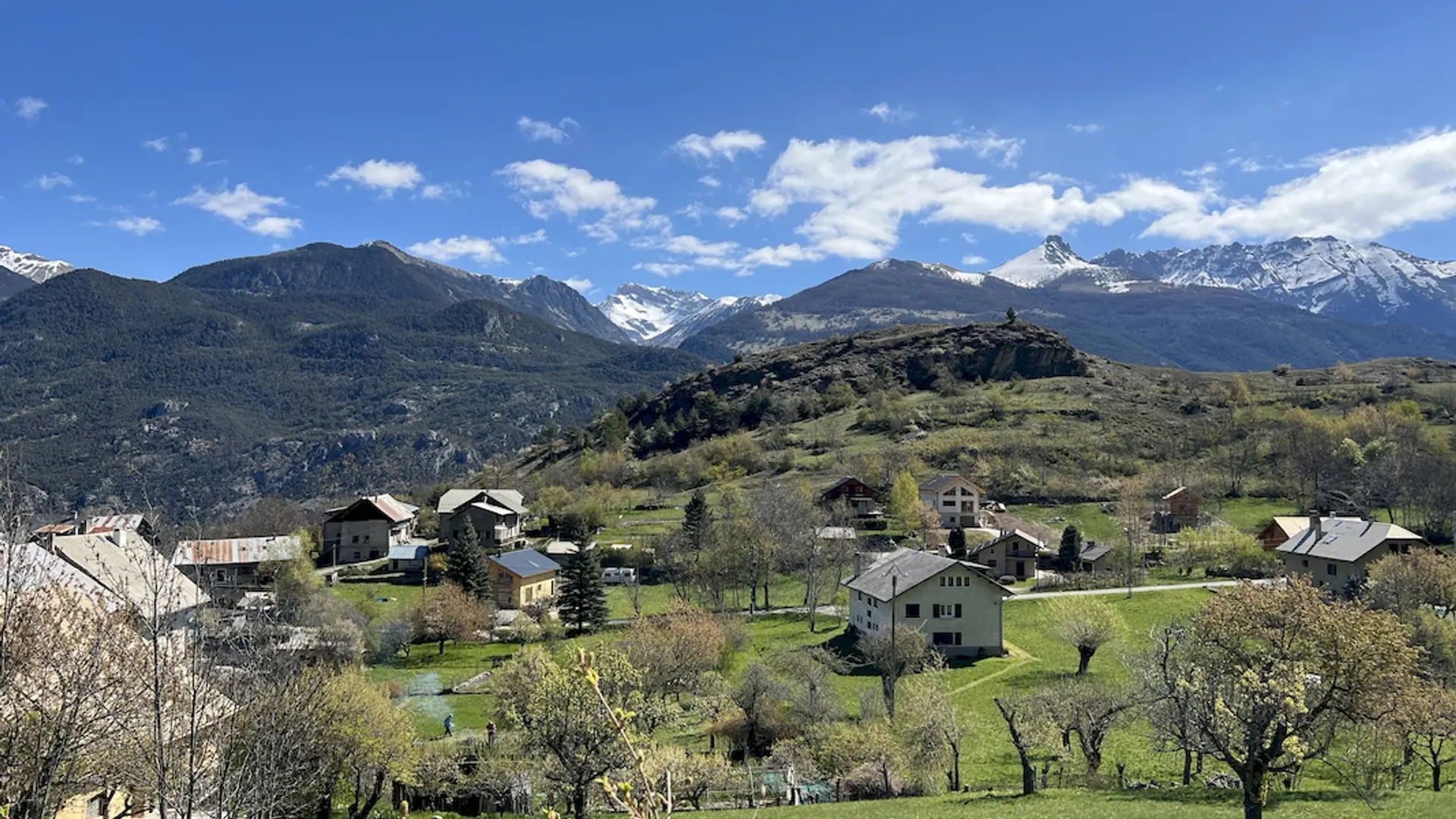
Champcella is made up of 17 small hamlets that stretch across an altitude of approximately 1,150 to 1,630 meters, and its inhabitants are called the "Champcellouires". It is a village with a rich agricultural tradition that is pleasant to live in and filled with walking paths ready to reveal its many stories and legends.
Equip yourself with the "Randoland" leaflet, available for purchase at the Tourist Office, to solve puzzles and observe elements of the local heritage.
>>>> RECOMMANDATIONS
Before setting out on a hike, check the weather conditions. Be especially vigilant with children, particularly in non-pedestrian areas. The route is undertaken entirely at your own risk, and Randoland and the Tourist Office accept no responsibility in the event of an accident.
Mountain rescue: 112
Please respect the work of farmers, operators, and landowners.
Close all gates behind you.
Take all your rubbish with you.
Do not cut across the route through the meadows.
Further information on localisation
Further information on localisation
Departure : Église (church), Champcella.
Arrival : Église (church), Champcella.
Road access : From Gap
At the roundabout in Saint-Crépin, take the third exit to join the D138 towards Champcella.
From Briançon
On the N94 road, before reaching La Roche-de-Rame, turn right onto the D38 towards Champcella..
Parking recommended : Spaces in between the church and the town-hall .
Public transport : Public transport >> https://services‑zou.maregionsud.fr/fr/
Think car‑pooling as well >> www.blablacar.fr
For more information, contact the nearest Tourist Information Office to the starting point of the hike. .