Seray.T
Traileurs Serre Chevalier Dans Les Pas D Helene Alpes
|
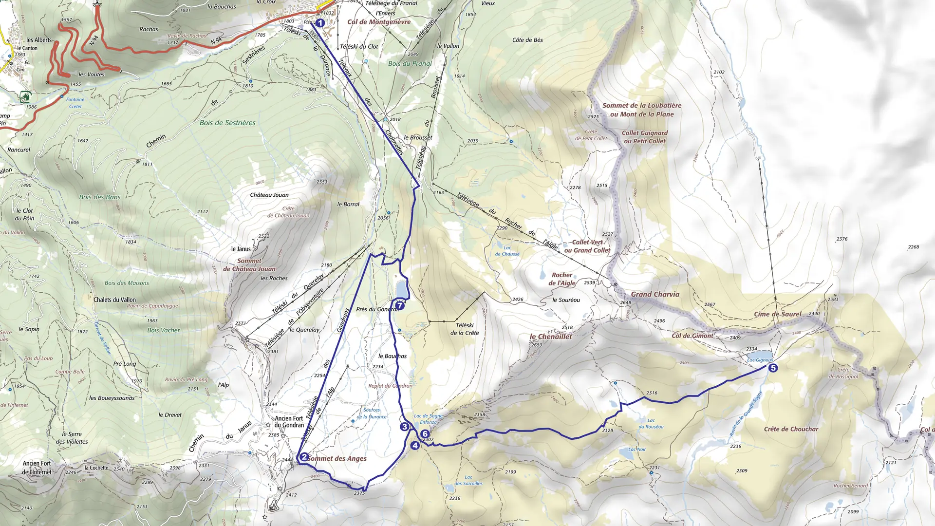
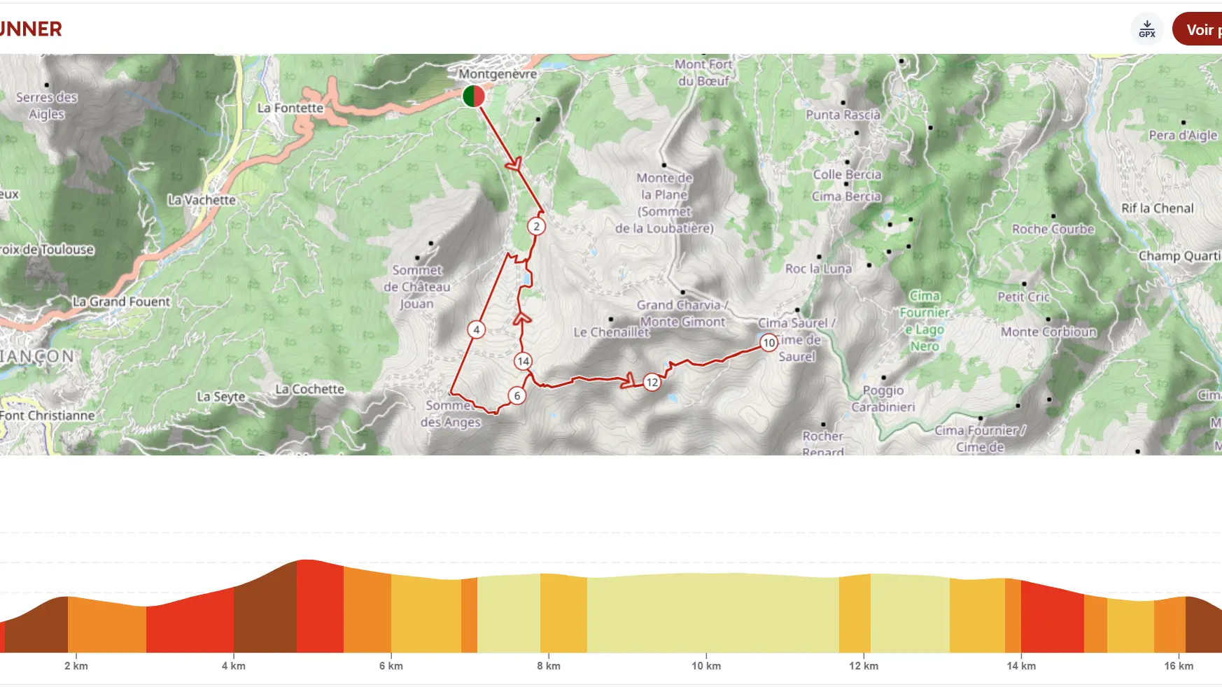
Dans les pas d'Hélène
Parc des Ecrins
Fotolia
Visites Guidees
AS
VINZI / Evrard V.
AlainMouton
CDUTREY
Nico GOMEZ
Sejour Ensues La Redonne
C.Chillio
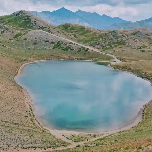
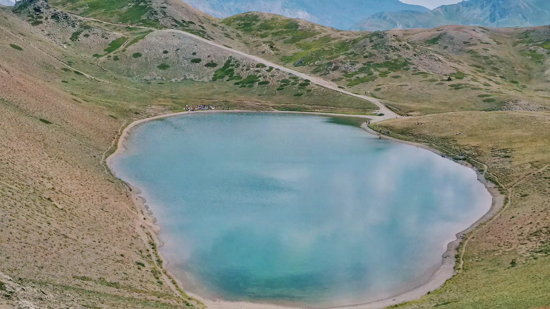
office de tourisme de montgenevre
Office de Tourisme de Montgenèvre