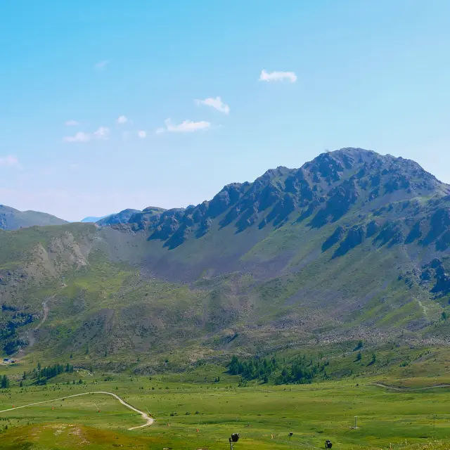
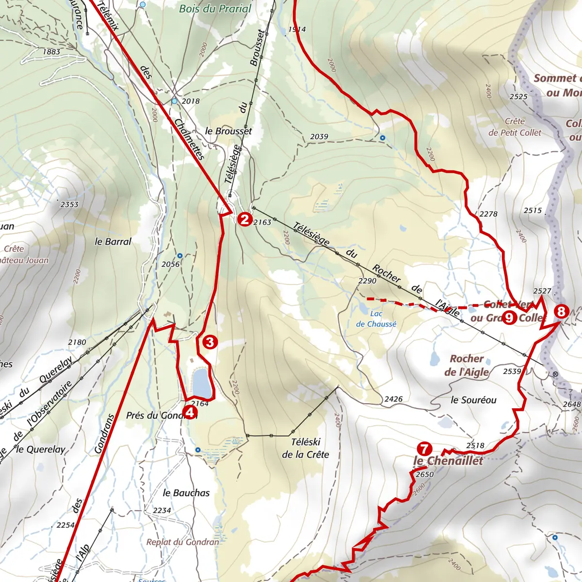
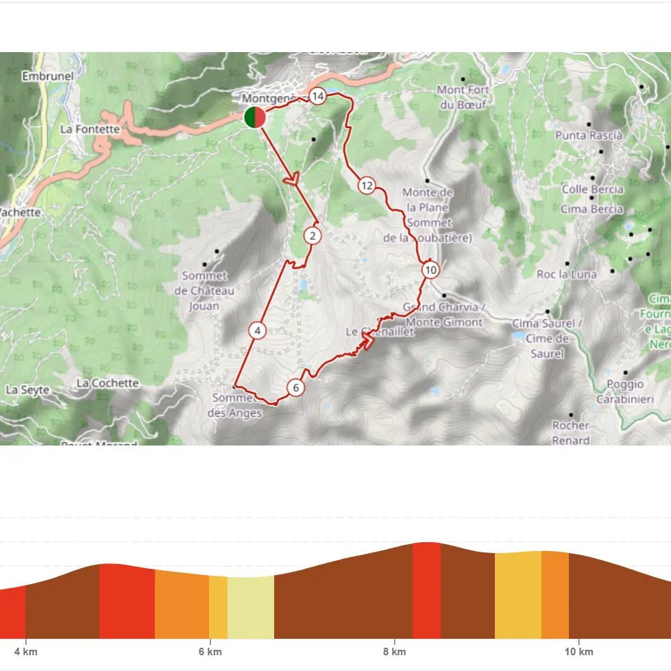
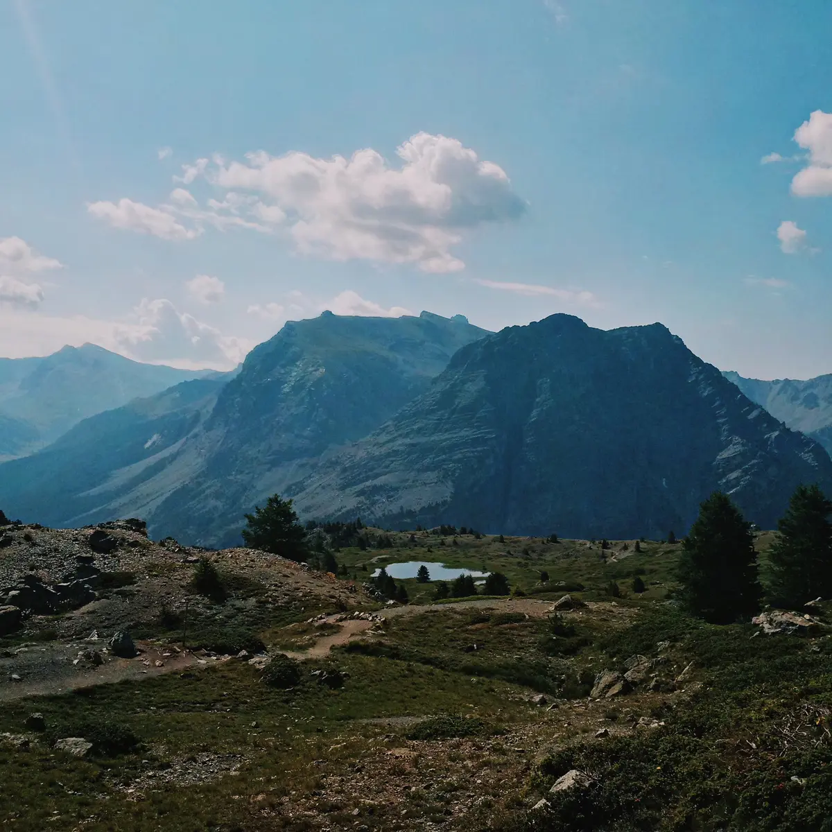
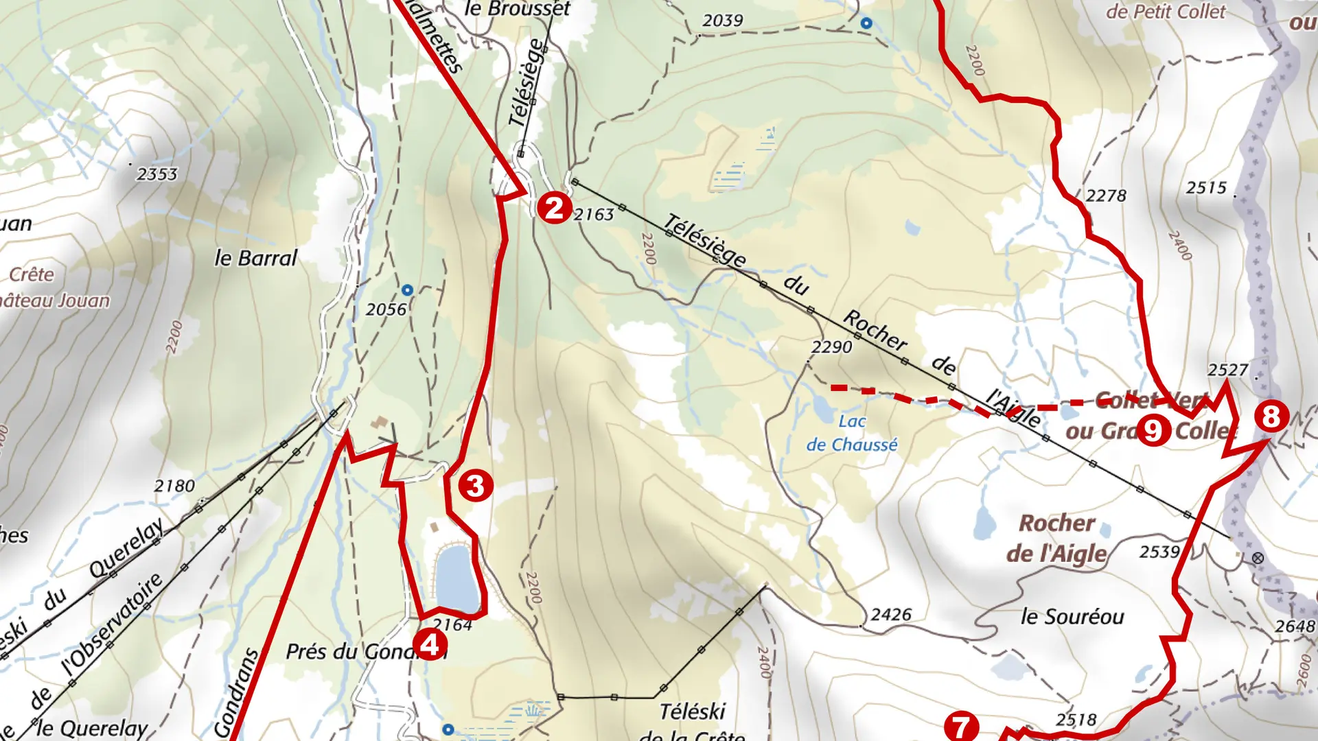
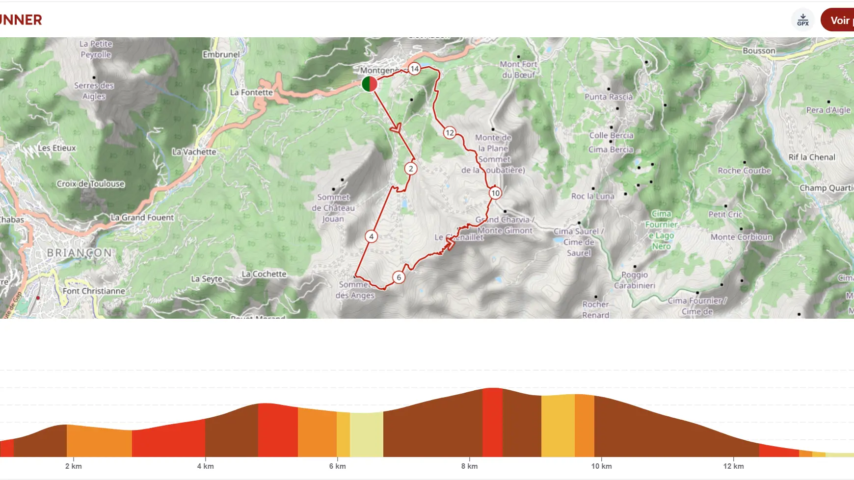
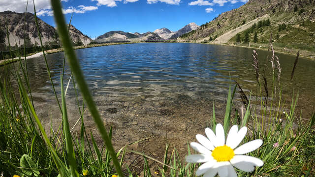
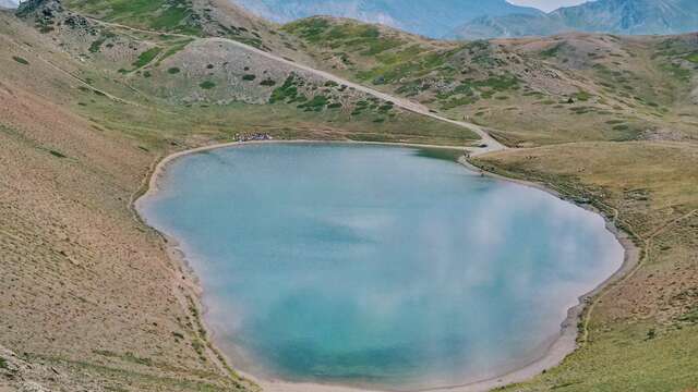
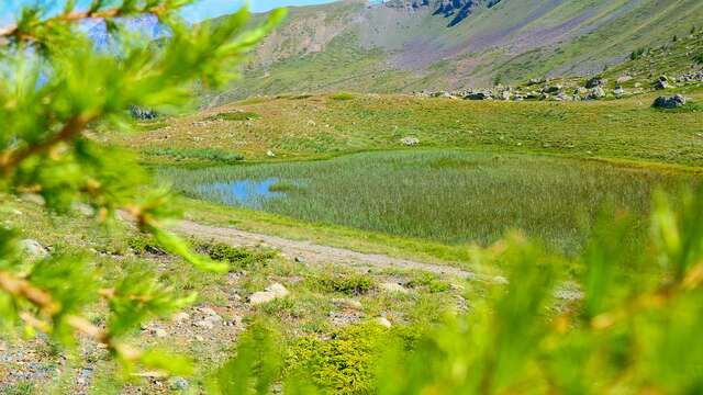
Randonnée - Le Lac Gignoux par le Télémix des Chalmettes et le Télésiège des GondransThis itinerary is a little long, but you'll have easy access to the Lac d'altitude Gignoux. The lifts take the strain out of the climb, and all you have to do is follow a...
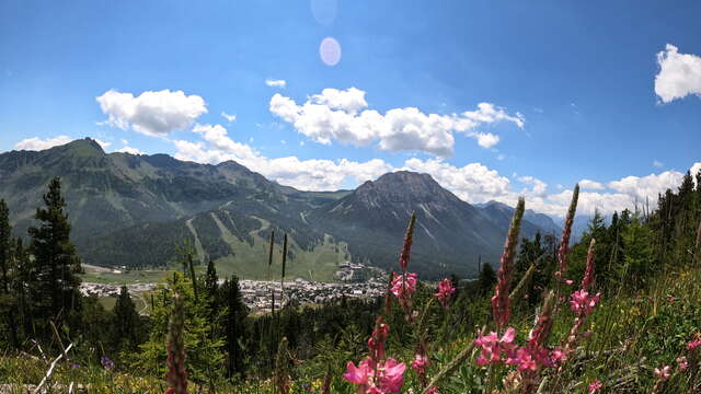
Montgenèvre