A path for exploring the forest (Austrian pines and larches), but also open spaces (cultivated zones, pastures), where you can find boards explaining certain aspects of local history and the natural environment.
The departure point is from the village square in Meyronnes, alongside the road. Head up the village, turn left and take the little road which goes underneath the colony. The path begins off the hairpin bend on the road, where you will first have to ford a stream (to be avoided during heavy storms), then climb towards a stand of Austrian pines and larches which are the fruit of the Mountain Terrain Restoration Programme.
On the slopes of La Rochaille, 214 ha were purchased by the state in 1886 for plantation work. Today, the forest is managed by the National Forests Office (ONF). Le Belvédère du Pinas, which is located at virtually the summit of the hike provides a viewpoint over a vast unstable slope of sedimentary rocks known as Flysch; it is easy to understand why falling stones often block the road below.
The path continues at the same altitude. If you pay attention, just below the path you will see the excavations from a former slate quarry, which closed in 1884.
You will quickly come to the Serre la Plate bunker, an element of the Maginot Line in the Alps. You can also see the great fort of Rocher la Croix at Ubac de Meyronnes and, on the south-facing slopes, the works of Saint Ours Haut and Saint Ours Bas, which were all built between 1930 and 1936.
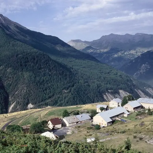
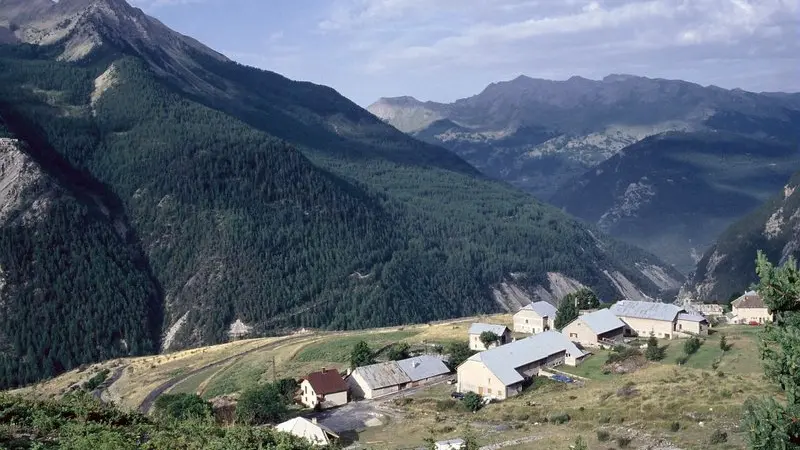
The path continues, leaving the forest and reaching the Saint Ours plateau, a little hamlet in a haven of cultivated zones and pastures, that the great Rochers which bear the same name underscore. With the pressure on pasture land having diminished, you can easily see the dynamics at work in terms of natural recolonization on the slopes around the hamlet: common and savin junipers, dog roses and Scotch pines which are gradually taking over areas.
From Saint Ours, follow the path down to Meyronnes for the return journey.
Difficulté = Medium