See photos (2)

Sentier de Baume Longe

Sport, Pedestrian sports, Hiking itinerary in Annot
9.6 km
5h
Hard
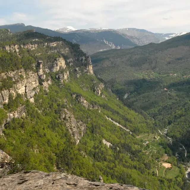
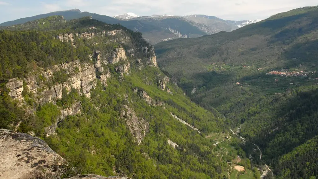
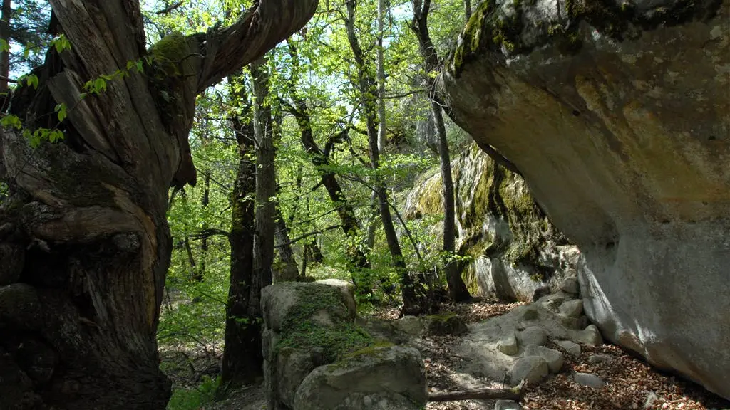
  • Along the way, you'll discover ancient rock shelters in the heart of a magnificent chestnut forest, beautiful views from the plateau and an extraordinary rocky chaos on the descent to the village.

  • The final part of the route follows the Annot sandstone path.
  • Departure
    Annot
  • Difference in height
    625.905 m
  • Environment
    • Close to a public transportation
    • TER stop (regional train) within 500 m
  • Documentation
    GPX / KML files allow you to export the trail of your hike to your GPS (or other navigation tool)
626 meters of difference in height
  • Maximum altitude : 1207 m
  • Minimum altitude : 691 m
  • Total positive elevation : 626 m
  • Total negative elevation : -626 m
  • Max positive elevation : 505 m
  • Min positive elevation : -243 m
Services
  • Services
    • Pets welcome
Close