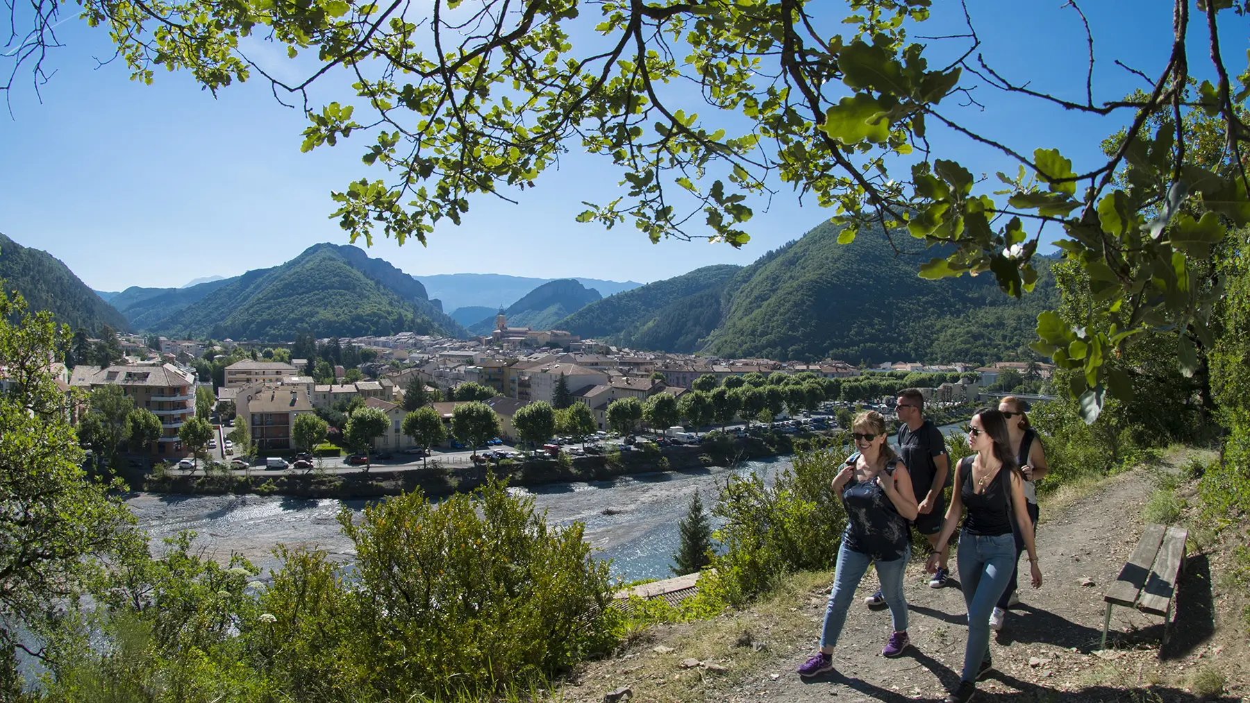
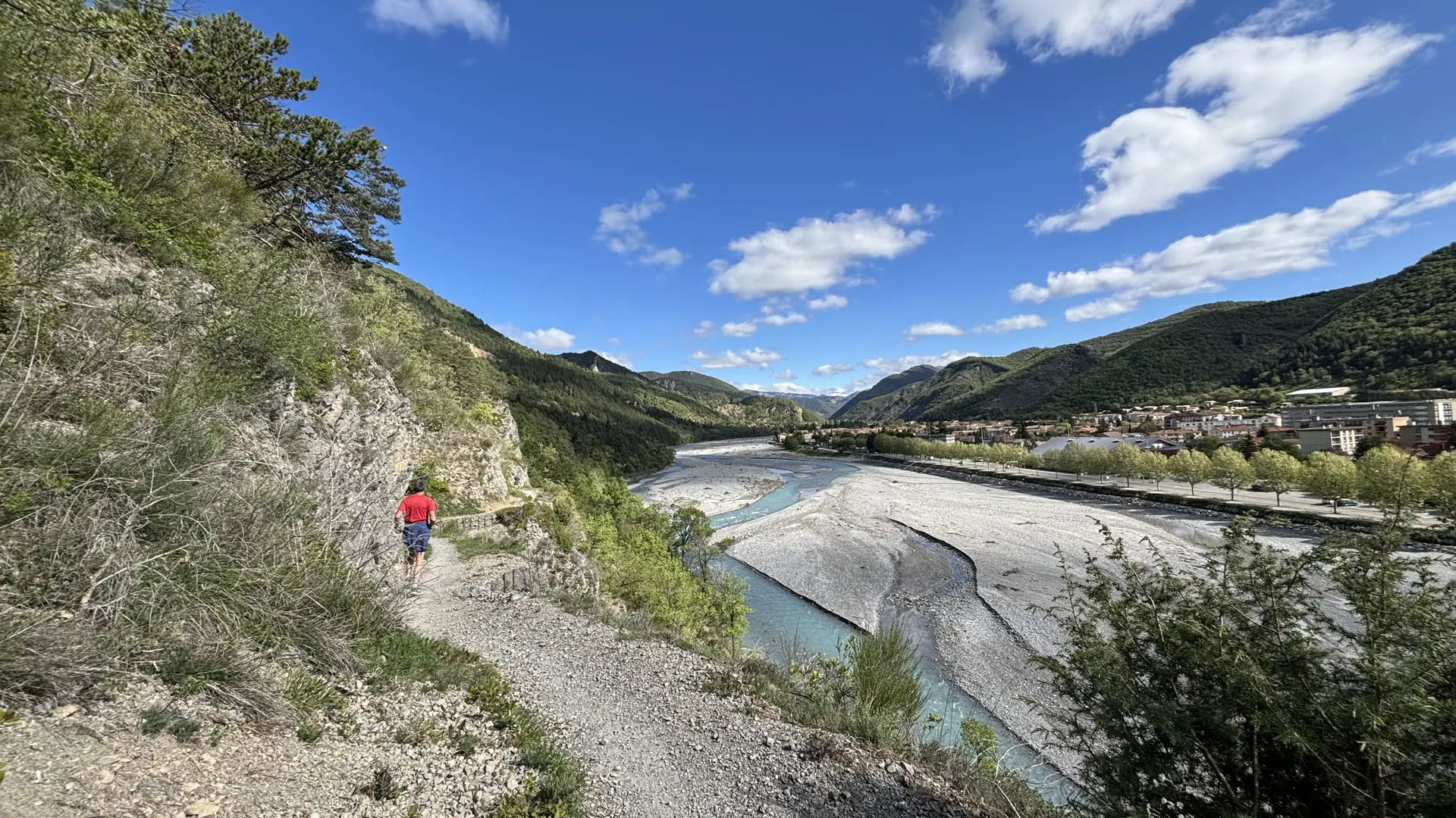
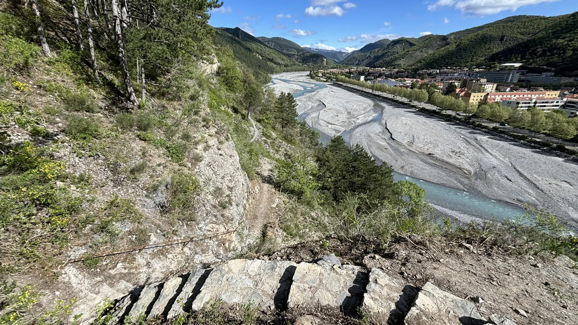
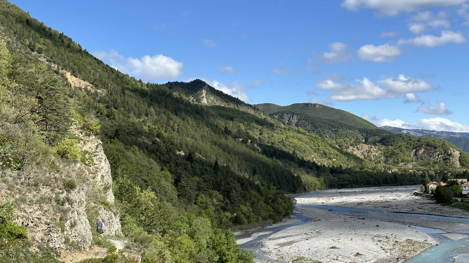
From the Tourist Office, cross the large bridge and go behind the fountain to join the Caguerenard path on the right bank of the Bléone. A riverside path linking the town center to the promenade museum.
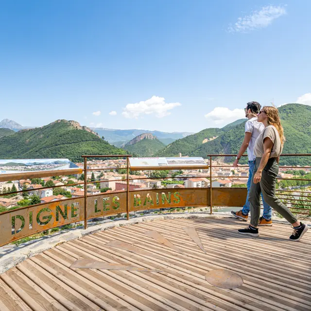
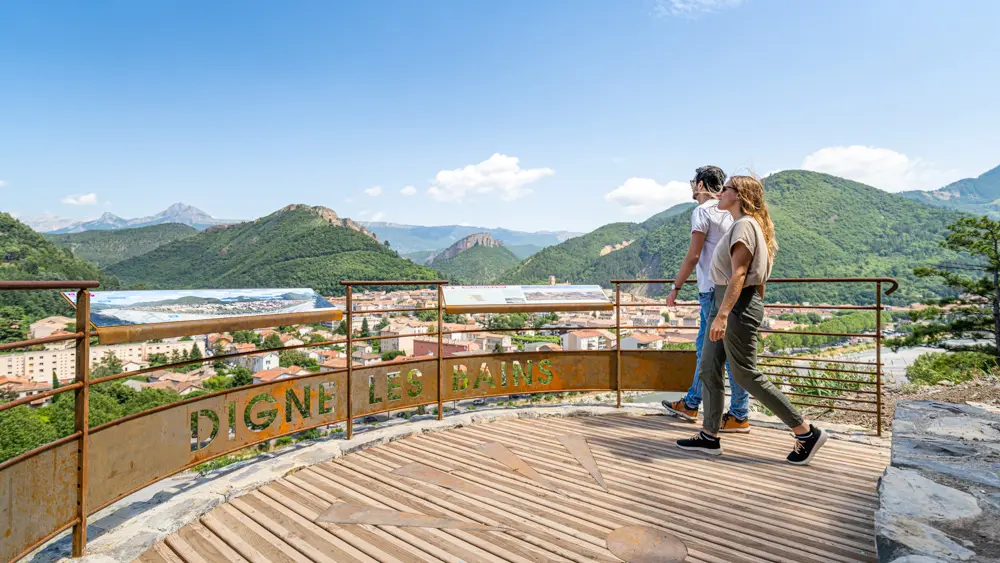
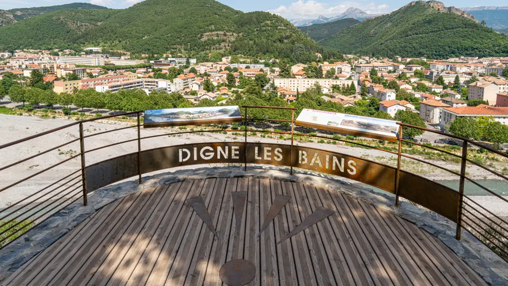
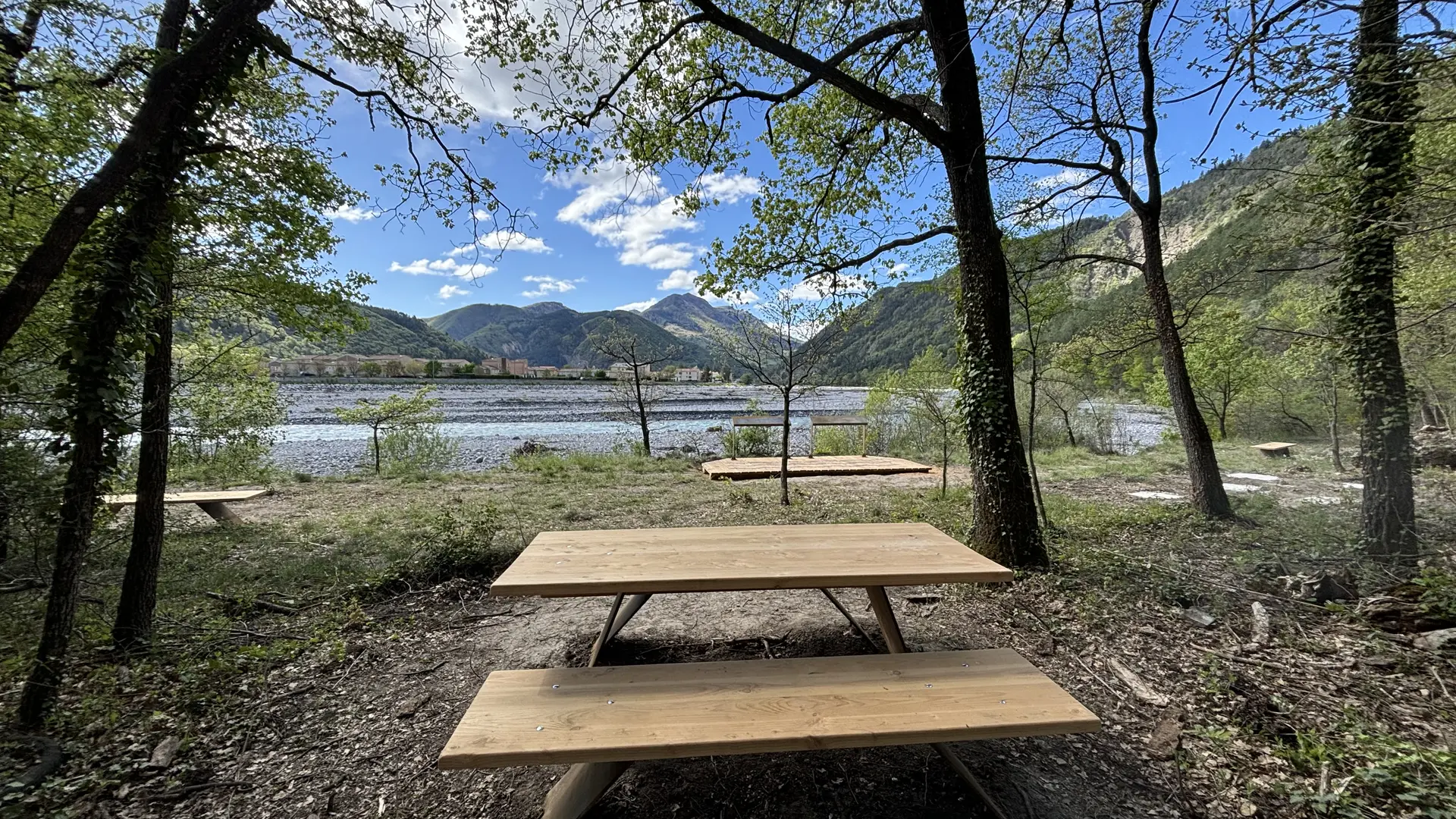
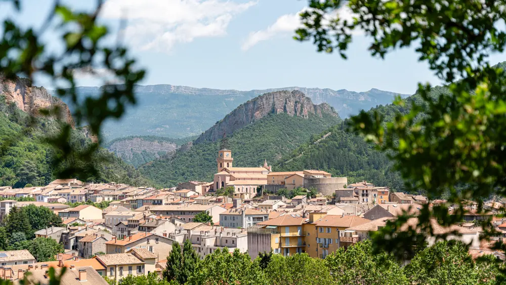
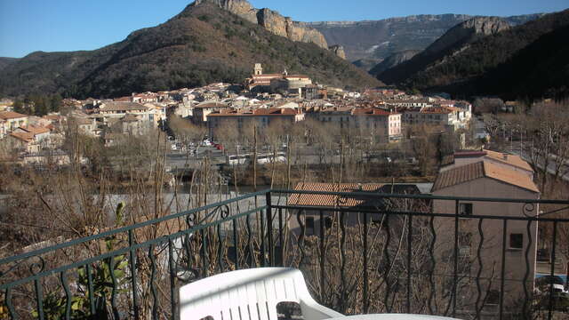
Possibility of simply making the return trip to the “Belvédère de Digne” = 2 km / Elevation difference: 50 m / Duration: 45 mins. Very beautiful view of Digne and the Barre des Dourbes. Possibility of extending to the ammonite slab by the gentle path connecting the promenade museum to the slab. Round trip: + 30 min; 2 km; 20m
The Caguerenard trail was redeveloped in 2024 into a discovery trail focused on the biodiversity and landscapes of the UNESCO Geopark of Haute-Provence. The objective: Walk and learn thanks to a pedestrian connection accessible to all, enriched with information on the flora, fauna, geological and landscape attractions of the region. The restoration of the Caguerenard path marked by low stone walls, a vestige of an old route between Digne-les-Bains and Robine-sur-Galabre, adds a heritage dimension to the project.