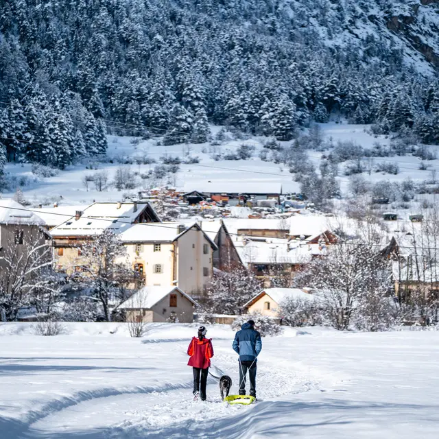
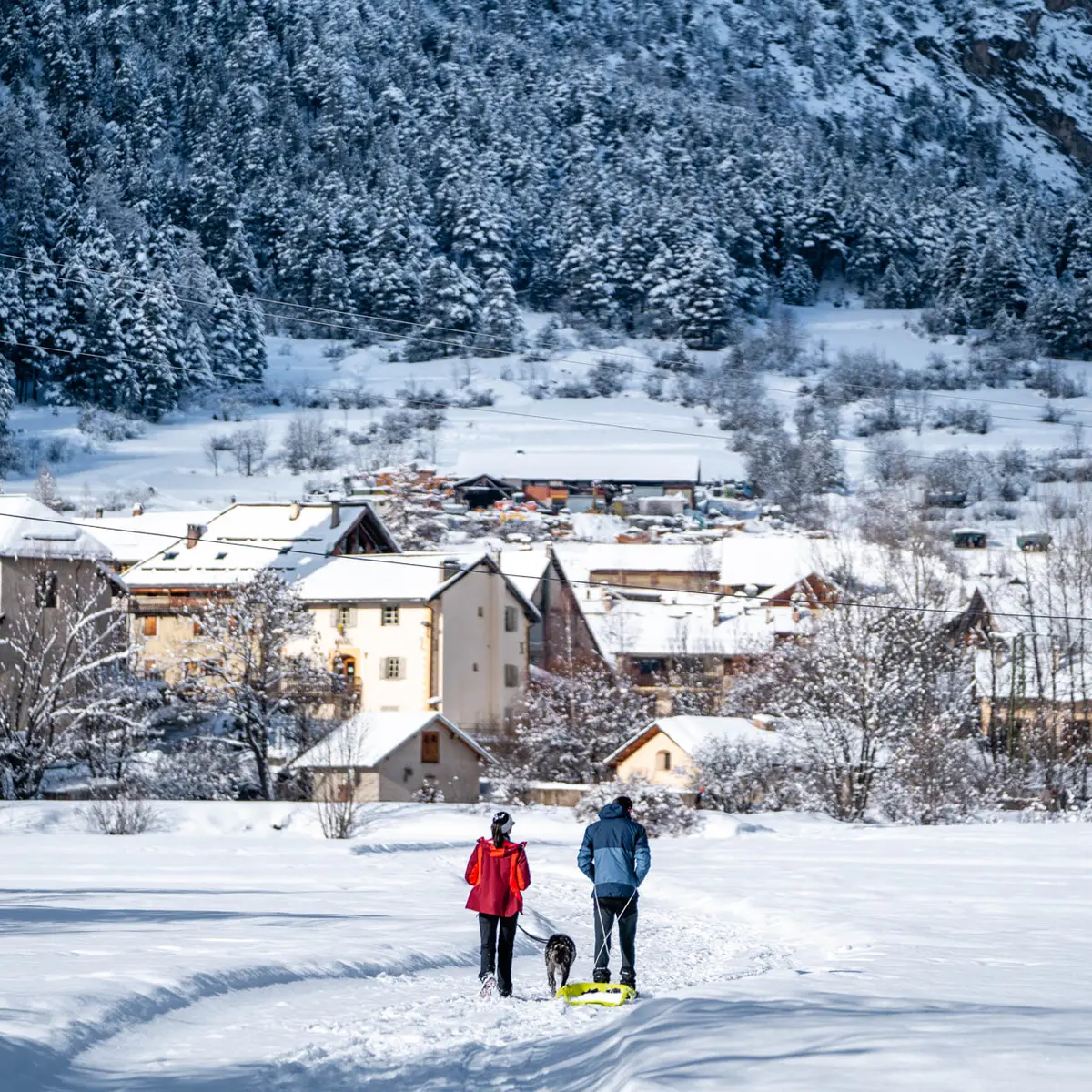
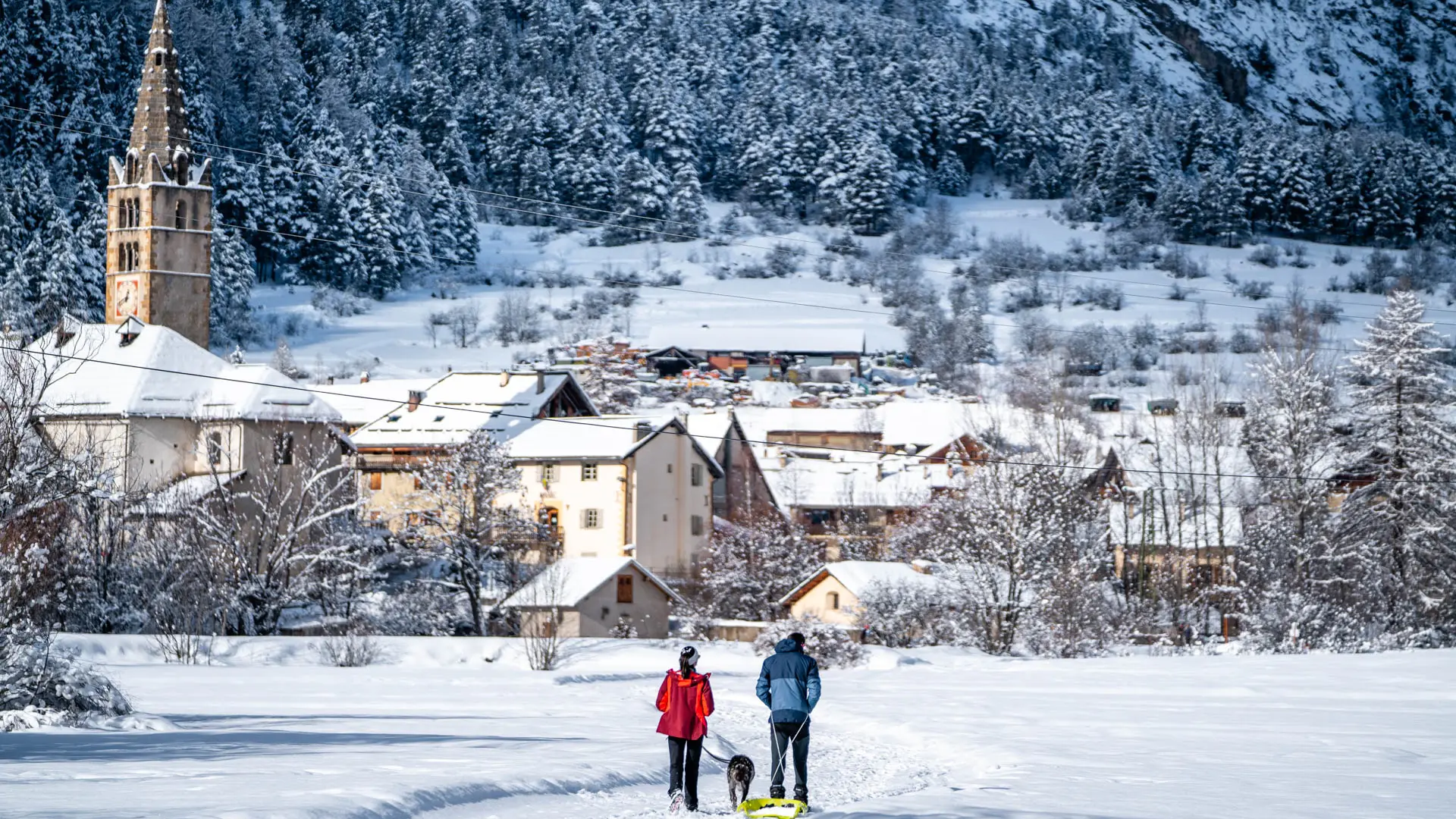
This pedestrian/snowshoe itinerary takes you along the Clarée through the villages and hamlets of La Vachette, Les Alberts, Le Rosier and Val des Prés.
Park in the hamlet of La Vachette. The trail starts just outside the hamlet, on the left of the main road, at the toboggan run, and continues along the plain until it crosses the road (be careful!) to reach the Pont des Amoureux. Cross the bridge to reach the left bank.
This is where the small Durance stream, originating in the heights of Montgenèvre, flows into the Clarée. At this point, the Clarée changes its name to become the Durance, which ends its course in the Rhône!
You now cross the pretty Alberts plain via the Bois des Alberts campsite; follow the itinerary indicated by the pedestrian/snowshoe signs to avoid damaging the cross-country ski trails!
You'll soon see the Alberts toboggan run on your right.
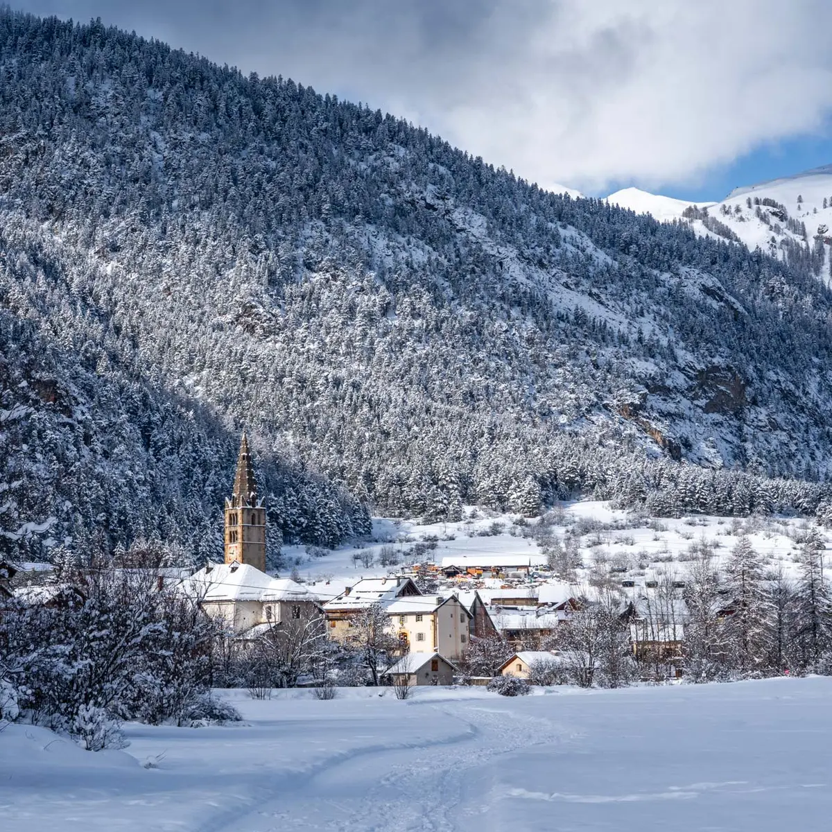
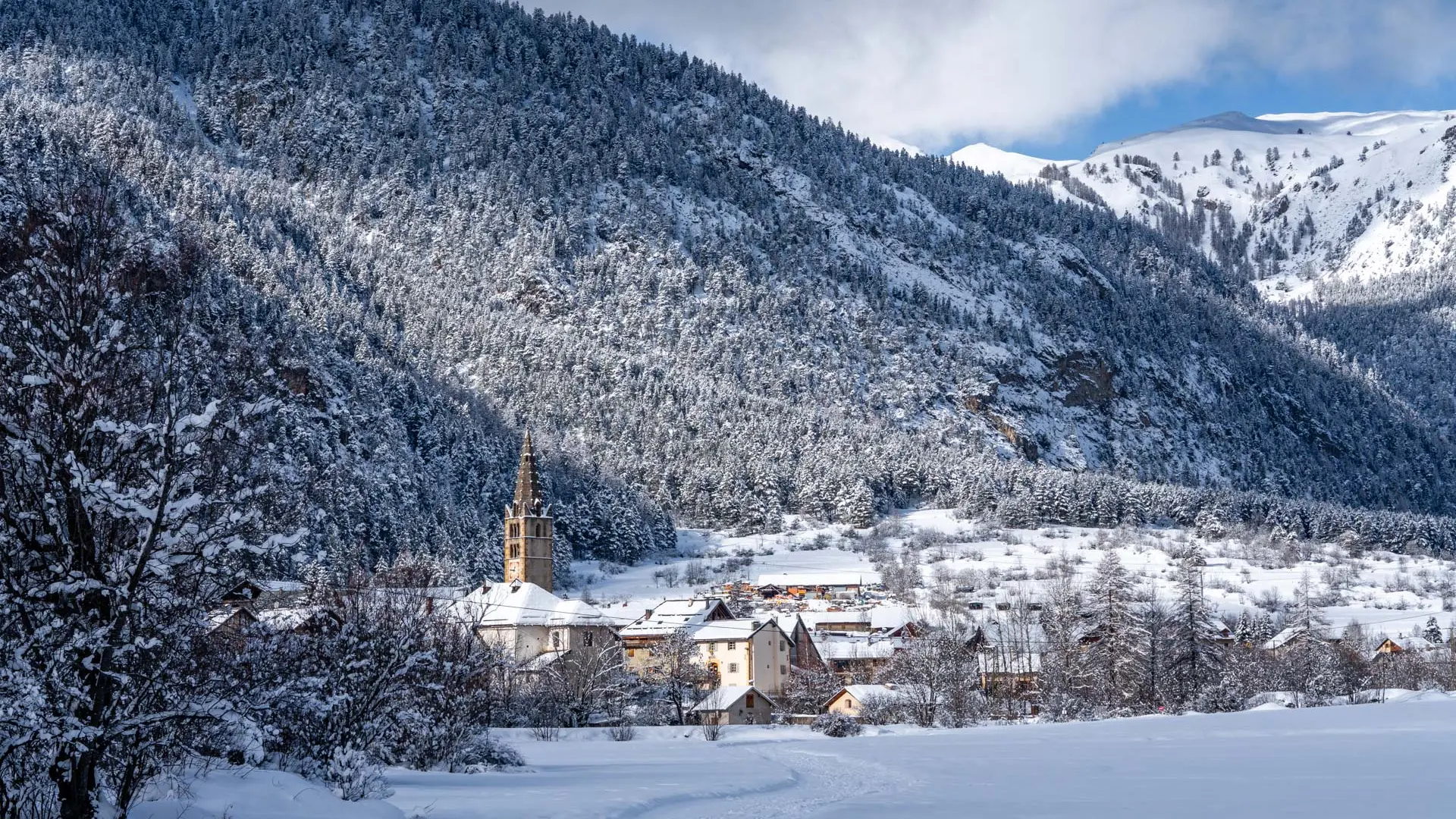
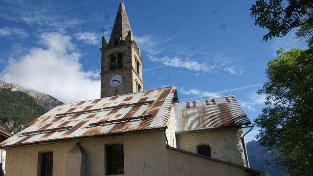
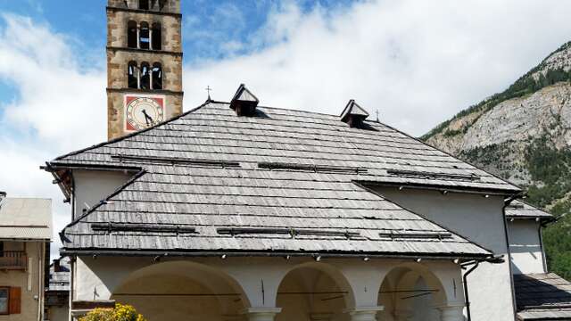
The route then follows a cross-country ski trail to the hamlet of Le Rosier, then continues along the left bank to the Val des Prés (Le Serre) communal oven. At this point, cross the bridge to stroll through the village of Émilie Carles - perhaps you'll recognize her imposing house. See the beautiful church of Saint Claude, with its porch unique in the Briançonnais.
Return by the same route.
Please note: this pedestrian/snowshoe itinerary starts at the hamlet of La Vachette, the first hamlet in the valley, but you can also park at the hamlet of Les Alberts, at Le Rosier or directly at Val des Prés to pick up the itinerary.
Pedestrian/snowshoe routes are signposted in the field. Please use them.
Use of these routes is the personal responsibility of the user.
Please note that the itinerary is not groomed daily.