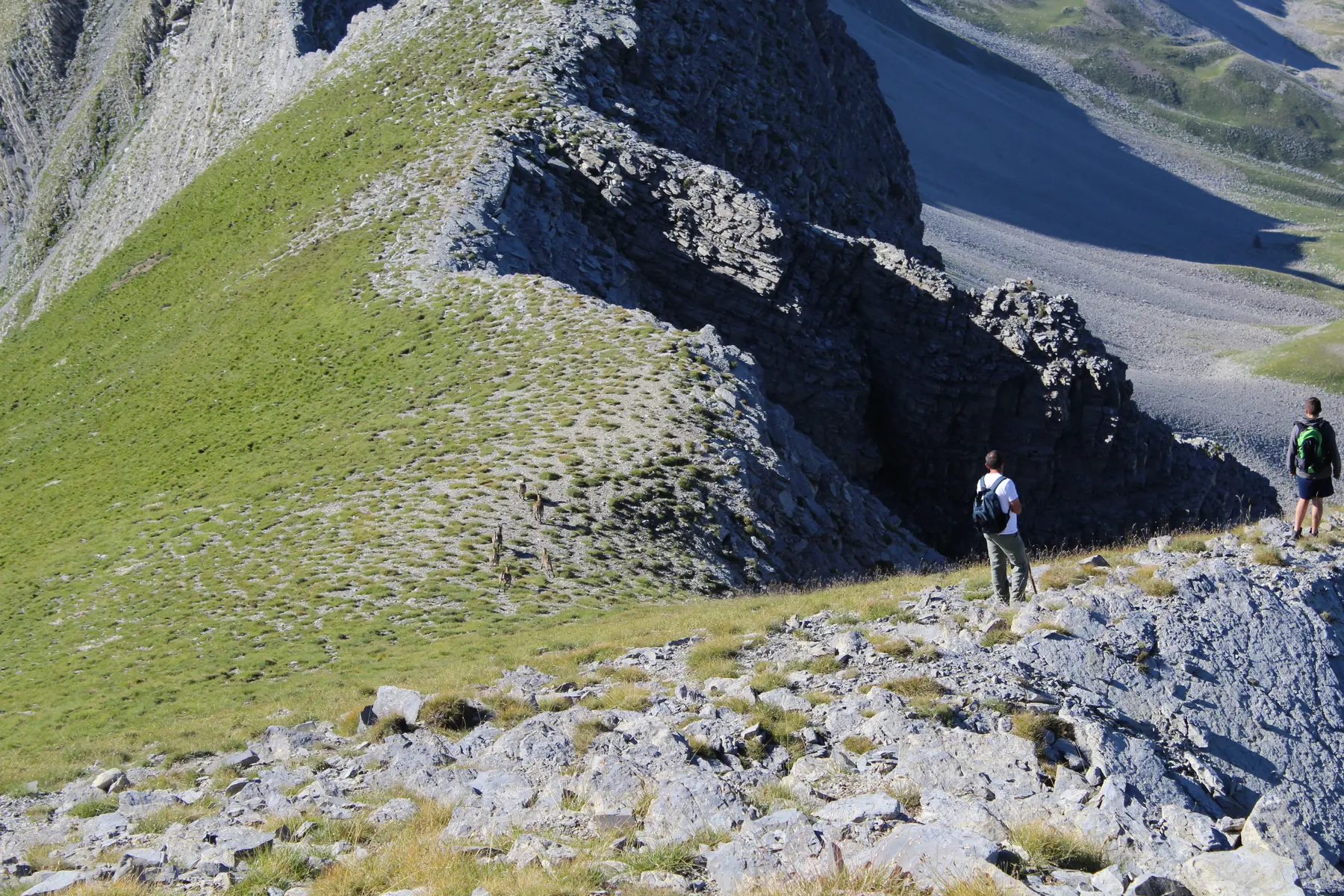
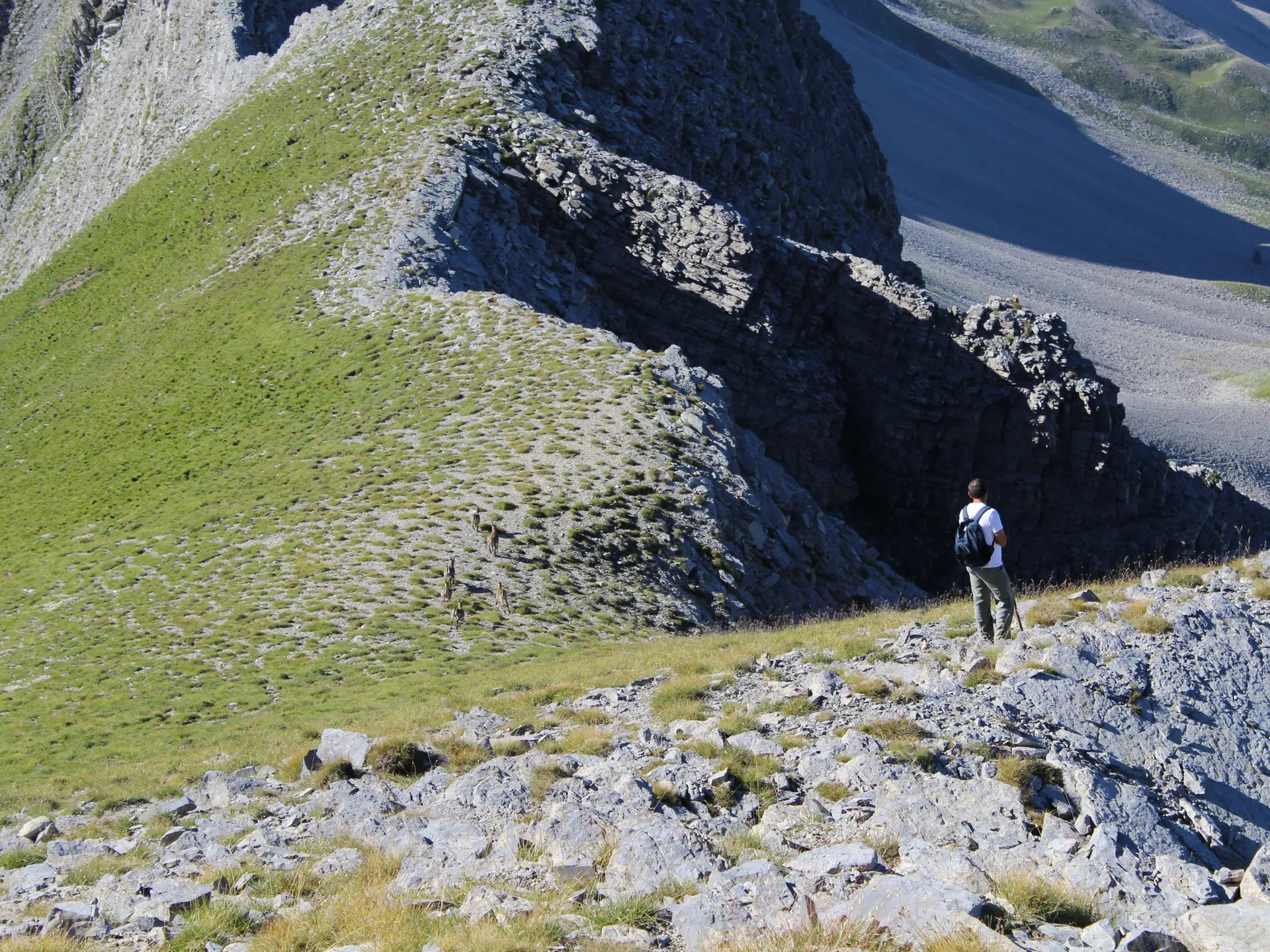
A fairly difficult hike through the alpine pastures, discovering ibex and chamois. A beautiful, long ridge at an altitude of 2,000 metres, offering some exposed sections. Access via the Col Mariaud.
Hike along the access track to the Col Mariaud, then follow a path through the woods that winds steeply upwards beneath the Scots pines. The route continues along a pleasant, level stretch towards the Crête des Béliers, offering fine views of the Estrop range and, finally, the Col de Grisonnière. To reach the summit, you climb directly up the ridge; the slope is a little steep for the last 150 metres. There is a superb viewpoint at the summit of Grisonnière.