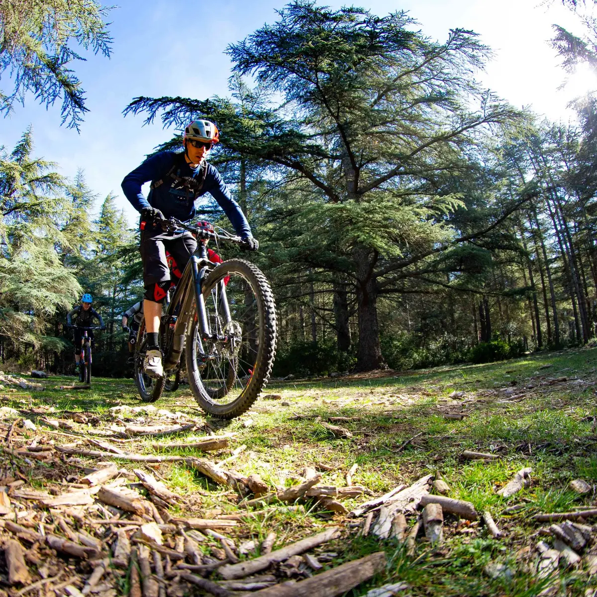
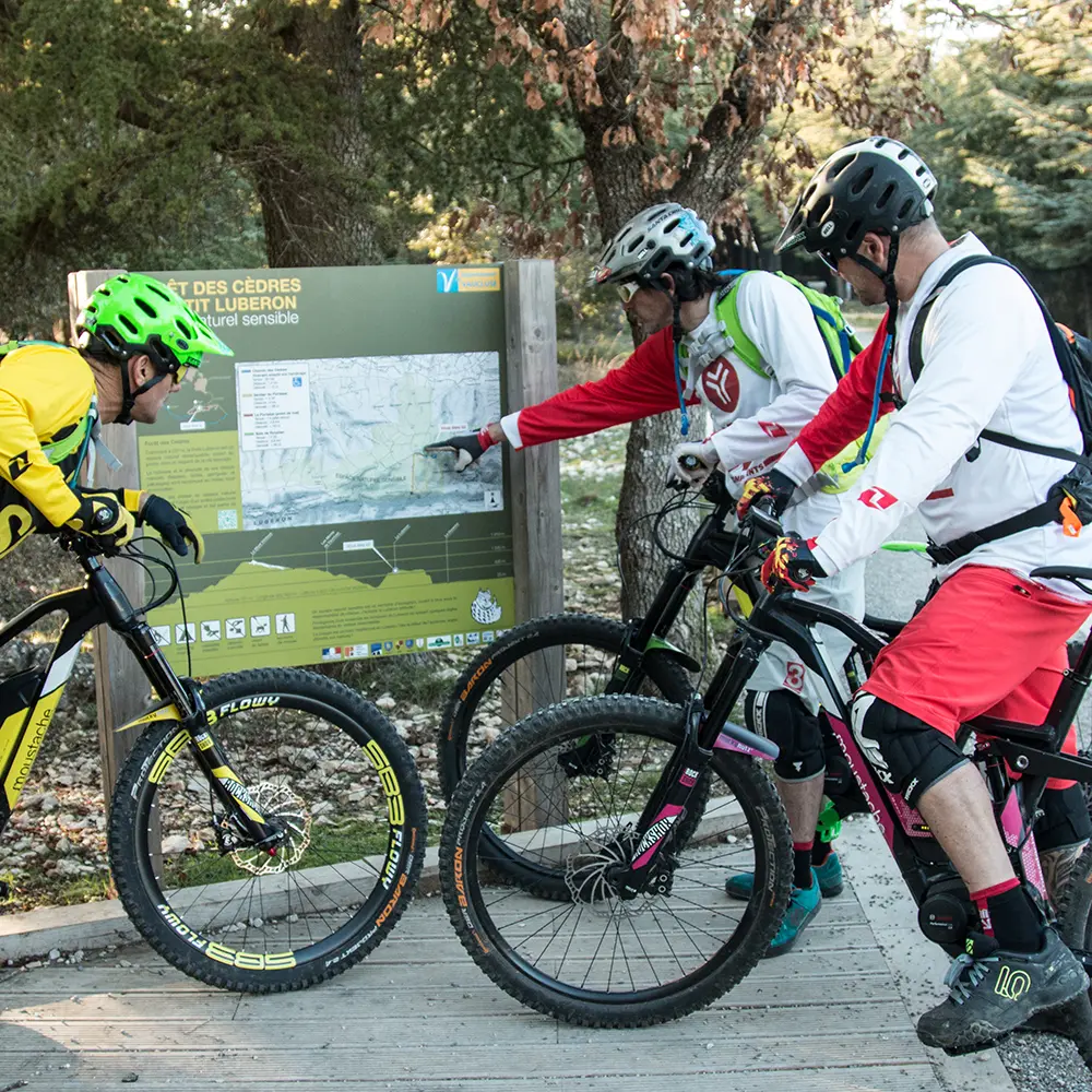
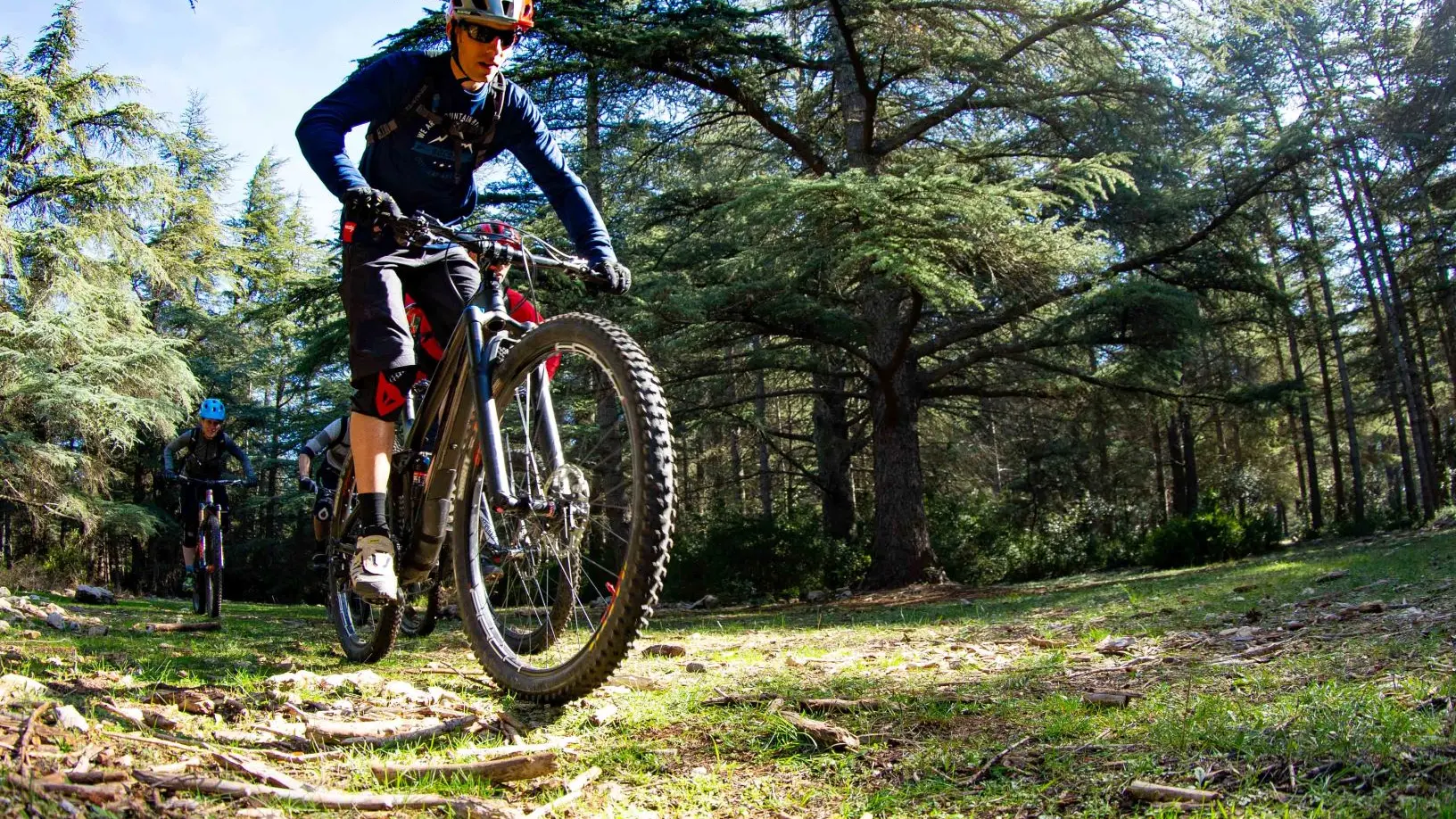
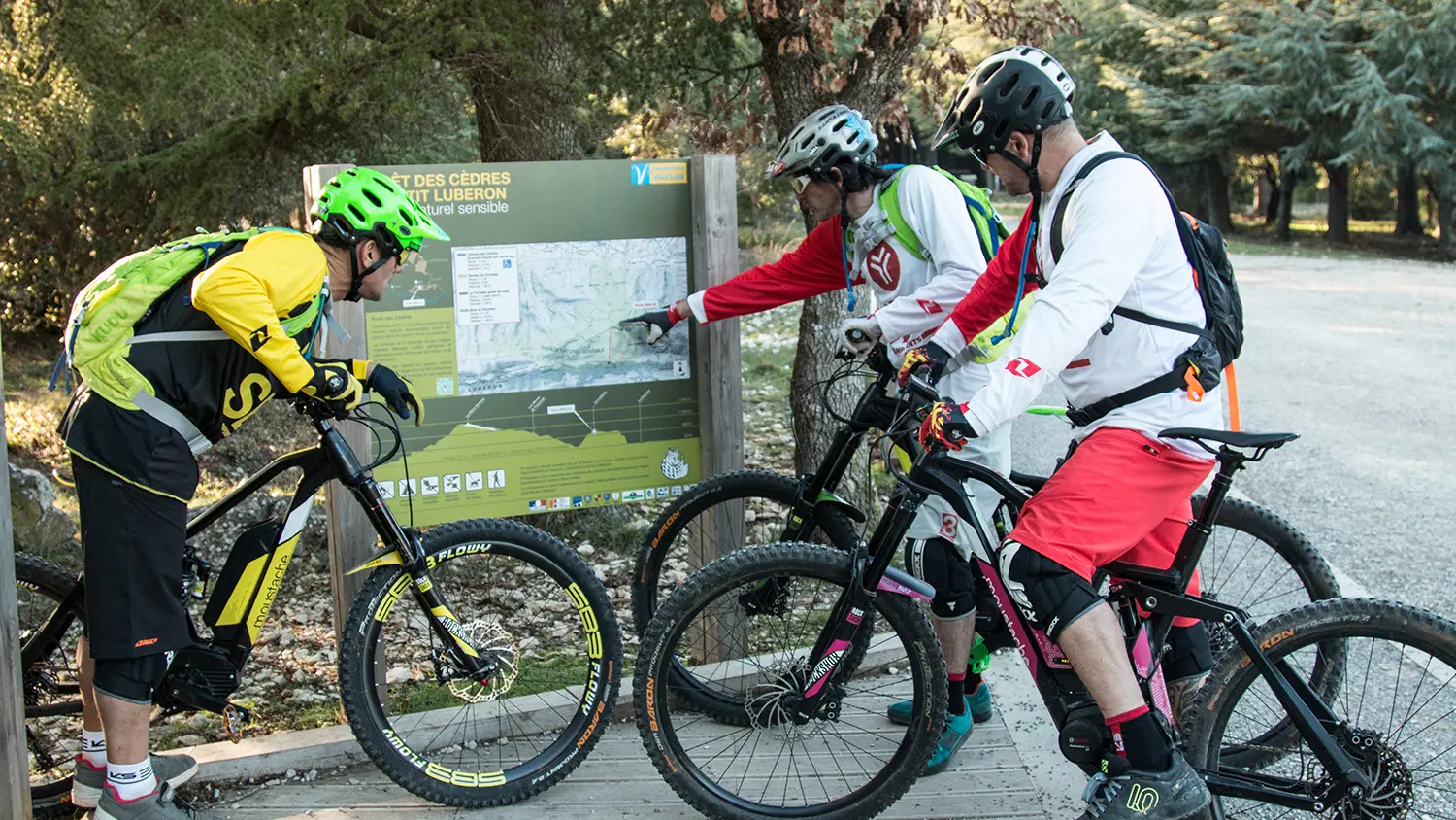
This is the longest stage of the Traversée de Vaucluse, which takes you from the cedar forest of Bonnieux in the direction of Petit Luberon. Enjoy the panoramic views of the hilltop villages of the Luberon, the Calavon plain, and the Monts de Vaucluse before a technical section in South-Luberon.
A long but magnificent stage. You leave the massif behind to climb up the slopes of the Petit Luberon before a steep descent.
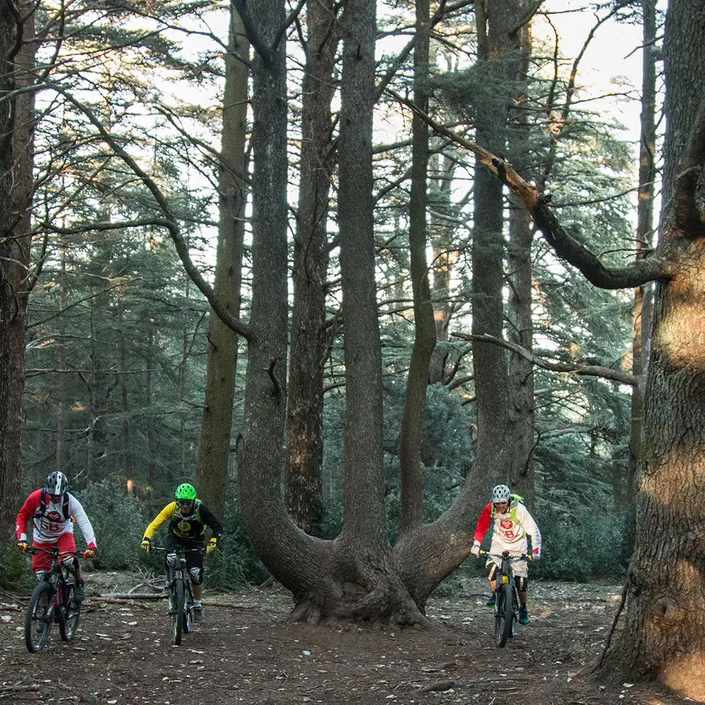
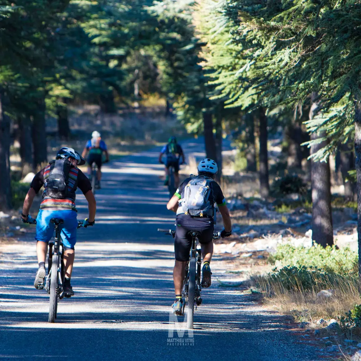
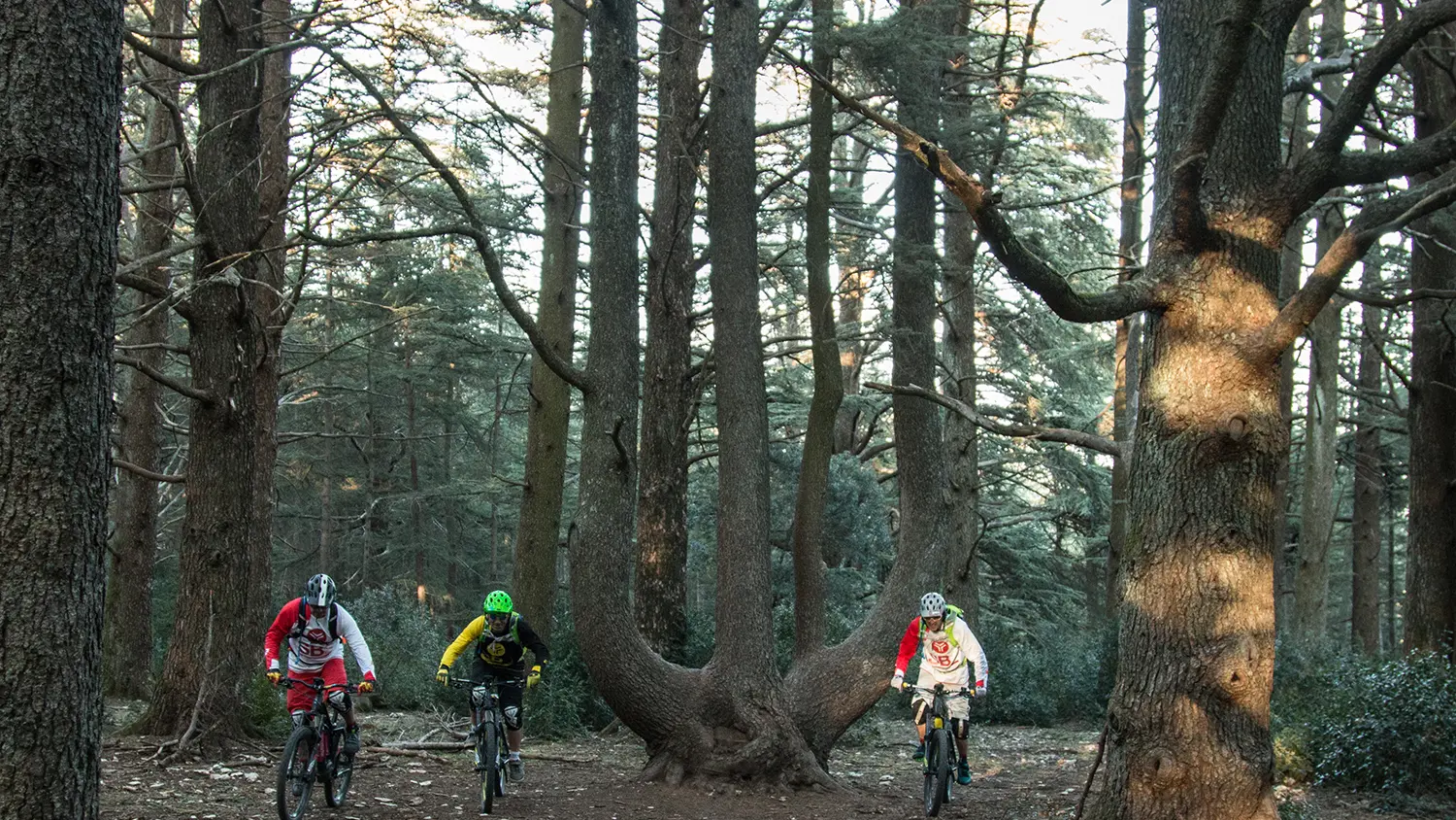
Next comes the ascent of the southern face of the Petit Luberon (alt. 690 m) following both paths and tracks, to reach the grandiose panorama of the valley of the Durance, the Crau and the Alpilles. You then travel through the Cedar Forest and its majestic hundred-year-old trees to travel through a technical valley bottom to the foot of the Ubac.
Once through the piedmont plain, you reach Oppède-le-Vieux, then Maubec, Robion and Les Taillades, villages steeped in history. From here, you continue towards the slopes of the Petit Luberon. One last climb on nice path plunges you into Vieux Mérindol.
Read more