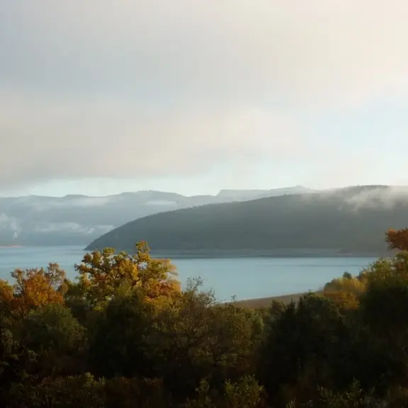
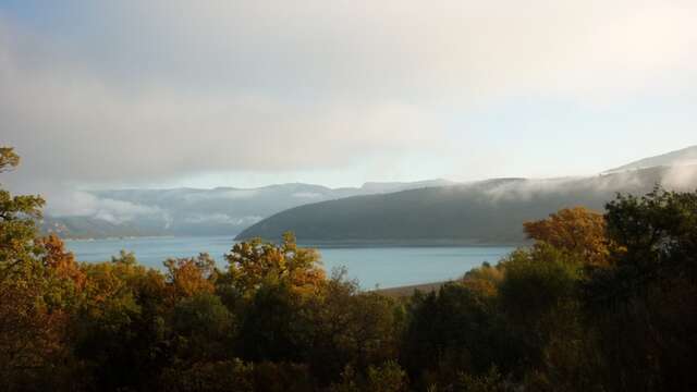
Before the Sainte-Croix dam was filled with water in 1974, Sulagran was the name of a hill that dominated the hamlet of Fontaine-l’Évêque, located around the Sorps spring, then one of the most important resurgences in France.
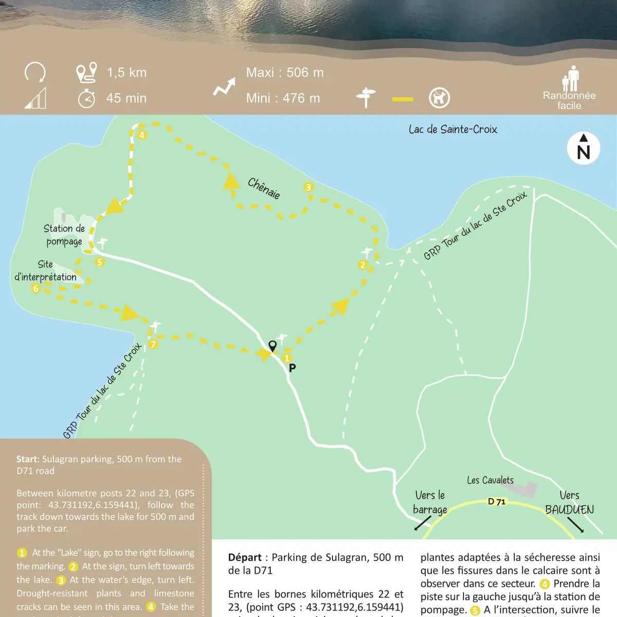
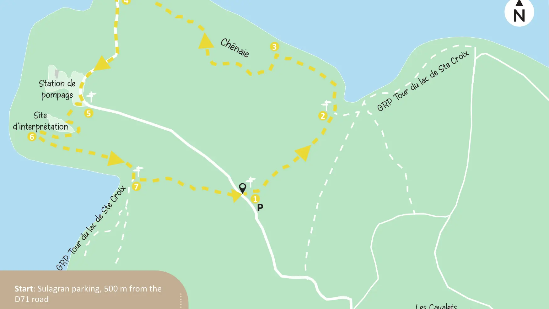
Between kilometre posts 22 and 23, (GPS point: 43.731192,6.159441), follow the track down towards the lake for 500 m and park the car.
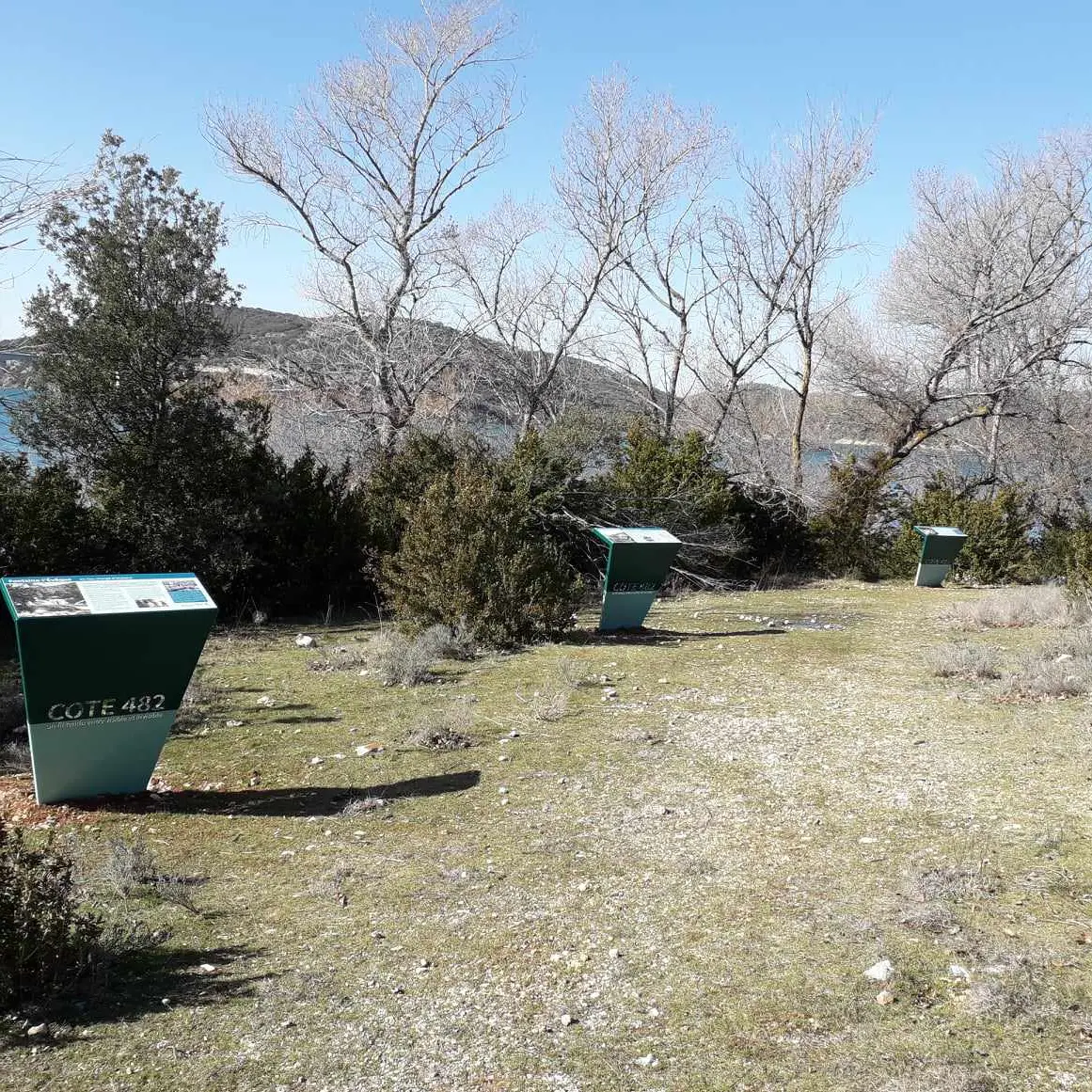
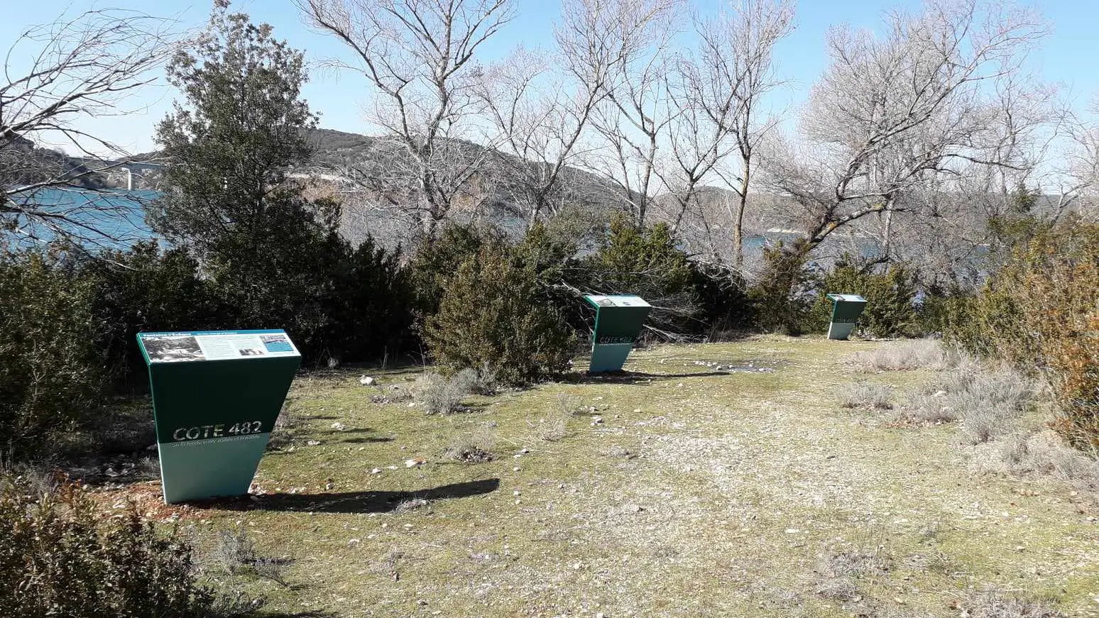
1. At the “Lake” sign, go to the right following the marking. 2. At the sign, turn left towards the lake. 3. At the water’s edge, turn left. Drought-resistant plants and limestone cracks can be seen in this area. 4. Take the track on the left until the pumping station. 5. At the crossroads, follow the sign ‘’Fontaine-L’Évêque’’ to the right, towards the lake. 6. At the next crossroads, interpretation panels on the right explain the Fontaine-l’Évêque resurgence. Retrace your steps and continue straight ahead on. 7. Turn left and follow signs to go back to the parking.
To see the hike on the map, click here: https://shorturl.at/HuDpu
Read more
Plain text period
All year round daily.
Before hiking, check whether access to forest areas is authorised: https://www.risque-prevention-incendie.fr/var/.