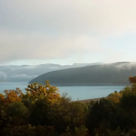
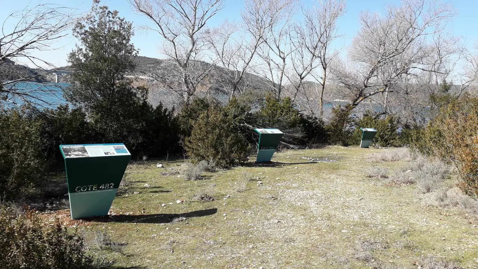
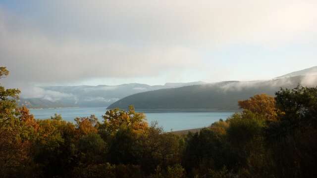
Before the Sainte-Croix dam was filled with water in 1974, Sulagran was the name of a hill that dominated the hamlet of Fontaine-l’Évêque, located around the Sorps spring, then one of the most important resurgences in France.
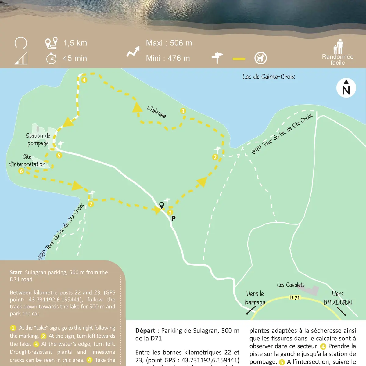
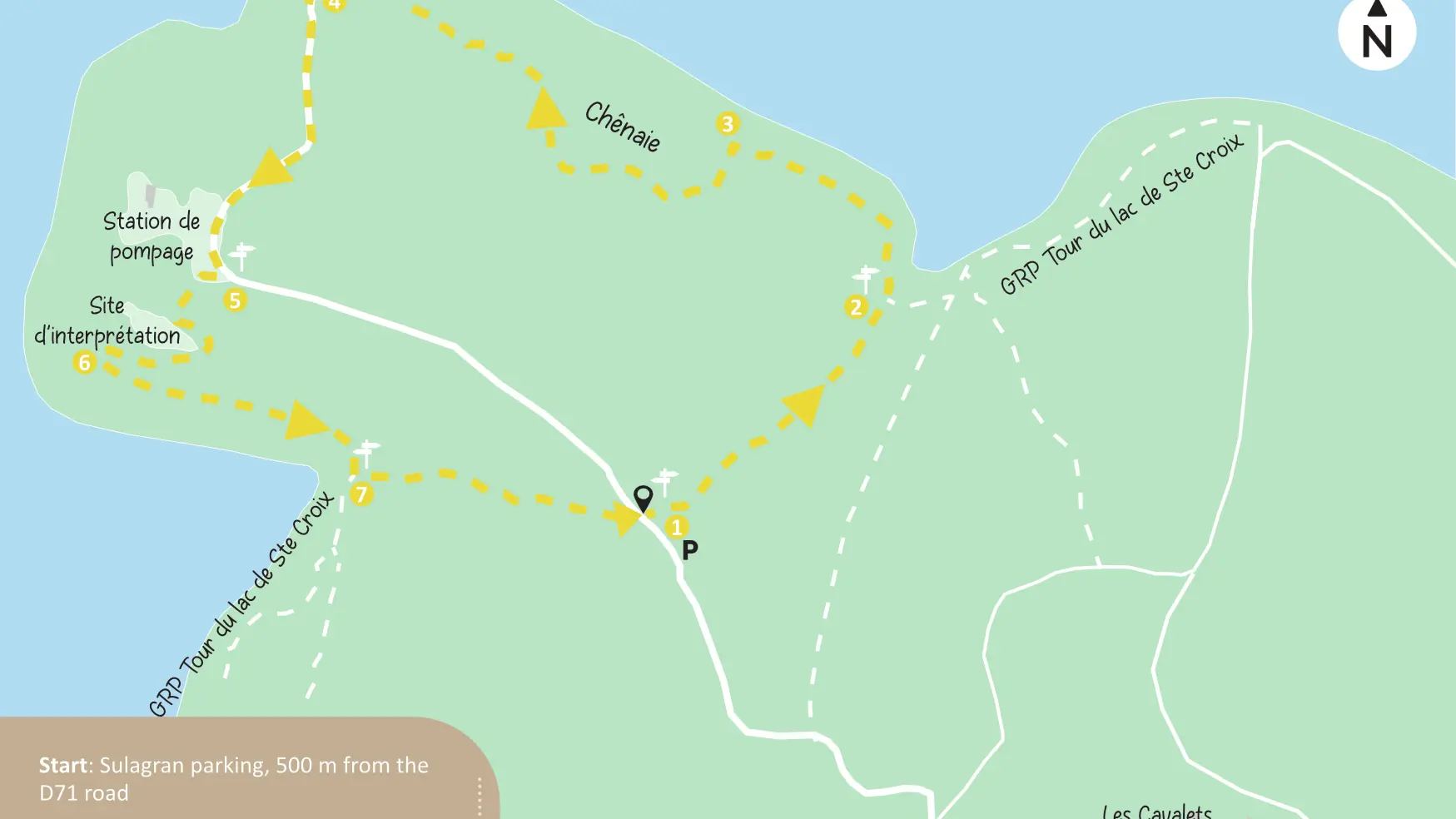
Between kilometre posts 22 and 23, (GPS point: 43.731192,6.159441), follow the track down towards the lake for 500 m and park the car.
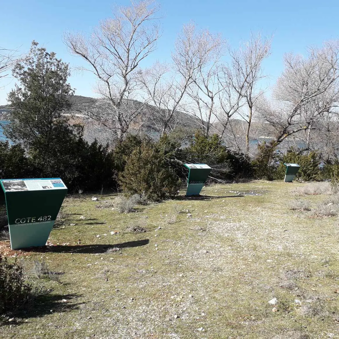
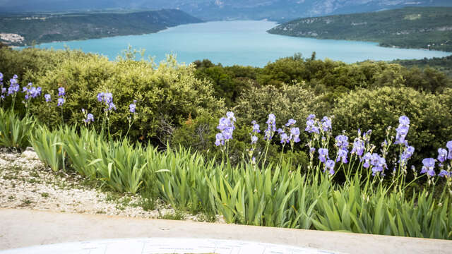
At the “Lake” sign, go to the right following the marking. At the sign, turn left towards the lake. At the water’s edge, turn left. Drought-resistant plants and limestone cracks can be seen in this area. Take the track on the left until the pumping station. At the crossroads, follow the sign ‘’Fontaine-L’Évêque’’ to the right, towards the lake. At the next crossroads, interpretation panels on the right explain the Fontaine-l’Évêque resurgence. Retrace your steps and continue straight ahead on. Turn left and follow signs to go back to the parking.
To see the hike on the map, click here: https://shorturl.at/HuDpu