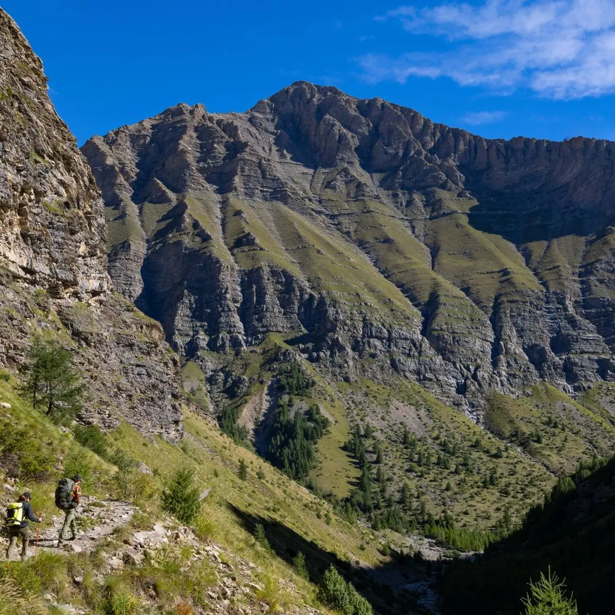
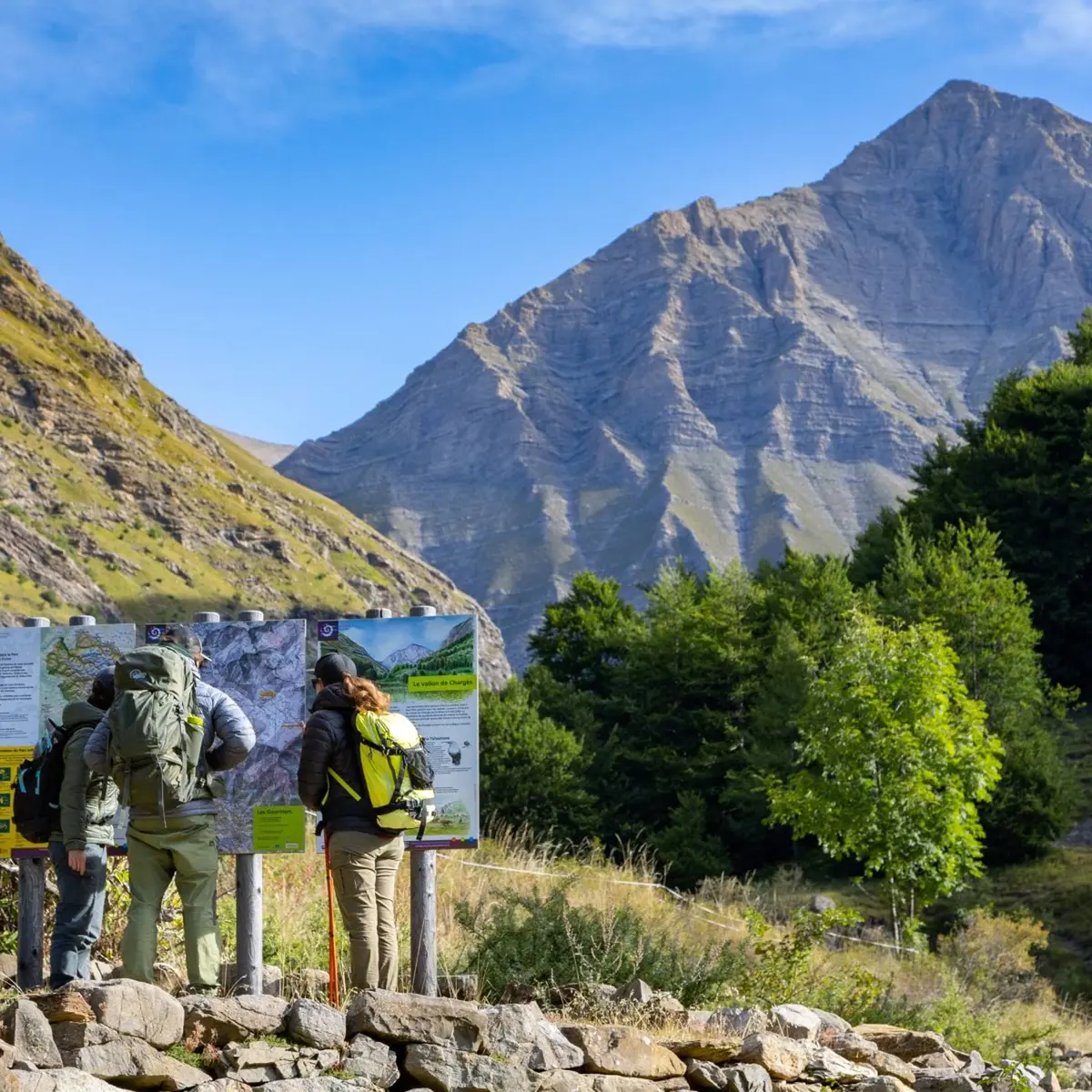
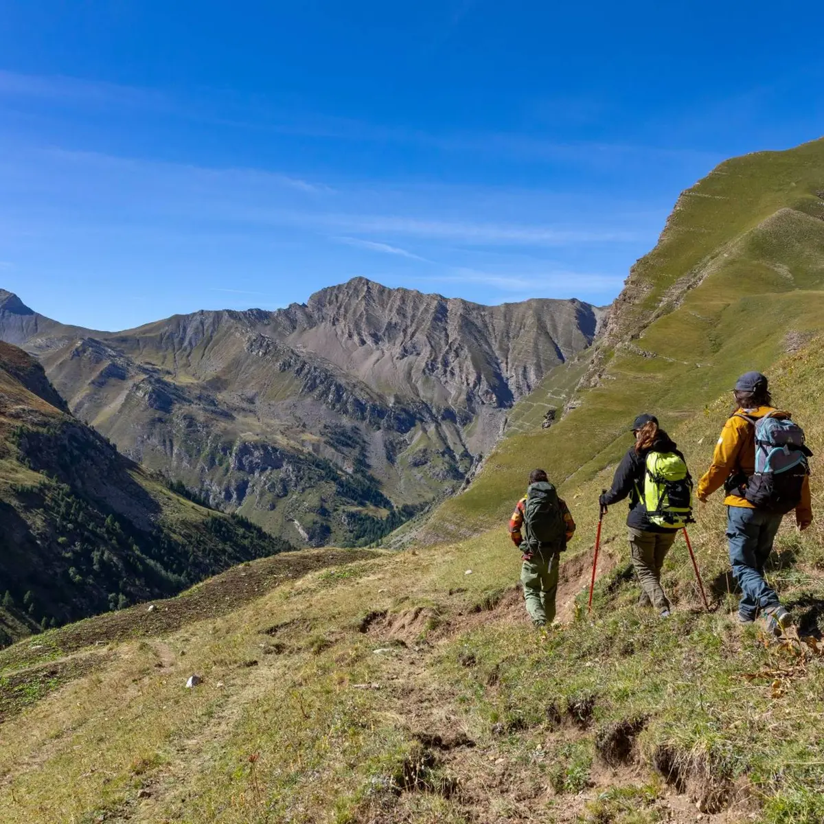
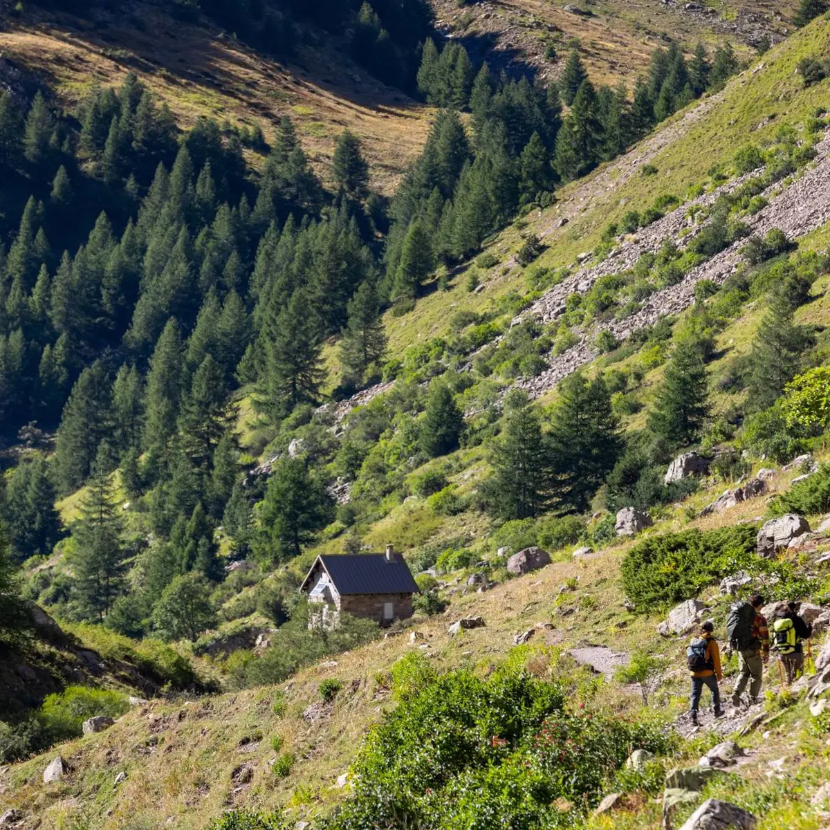
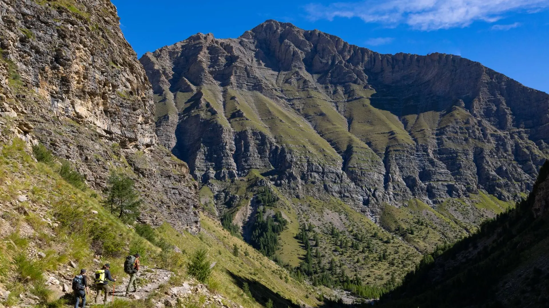
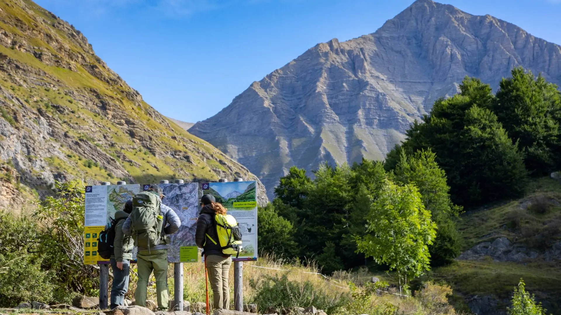
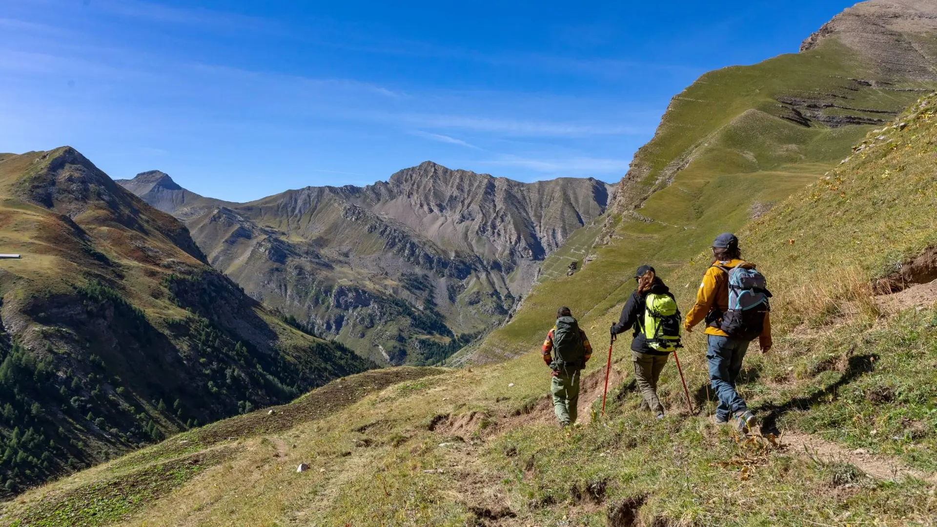
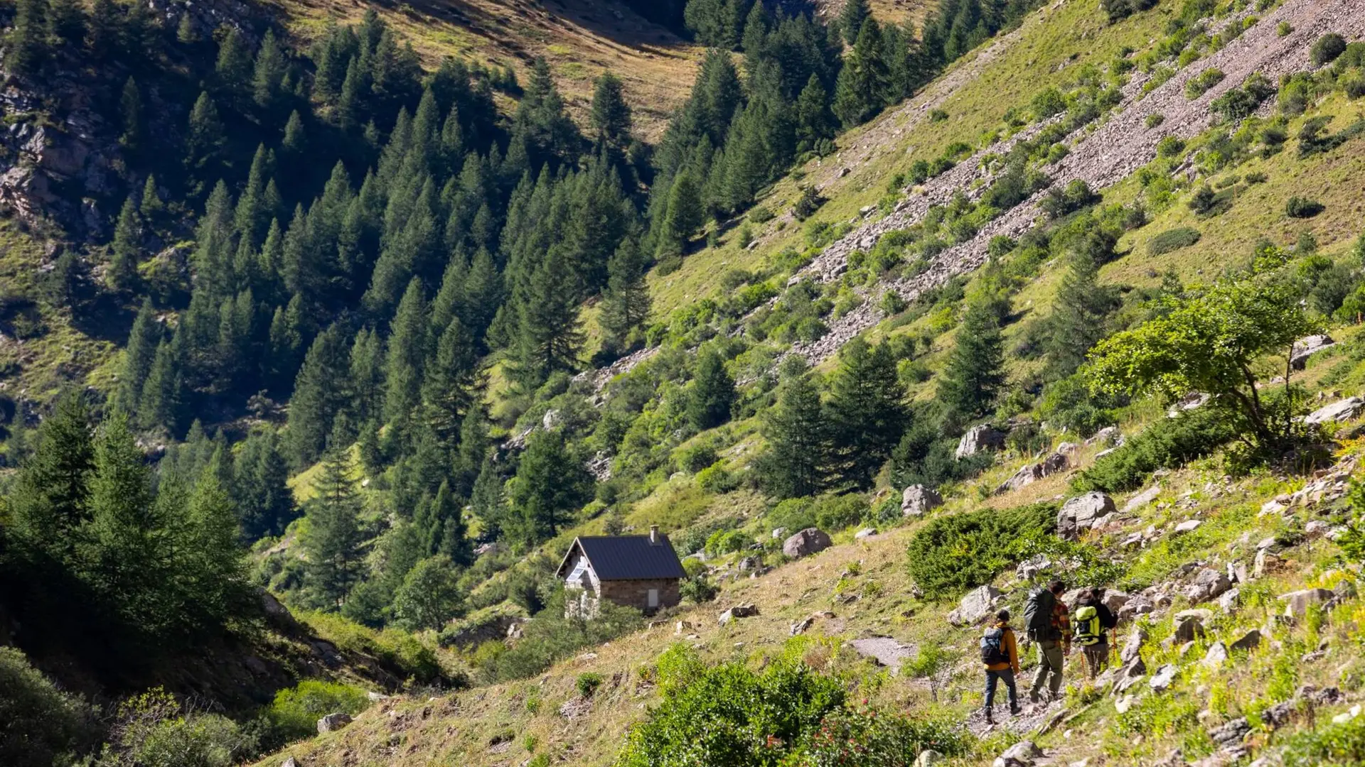
This trail follows the torrent and is an opportunity to see how the water makes its way to the Chargès mountain pastures.
The first encounter with the Chargès torrent is quite strange: a "giant’s cauldron" has been dug out of the hard rock, forming a reservoir that seems to be bubbling. Later, along the torrent, calm gradually returns until the arrival at the source in the hollow of the corrie.
>>>> RECOMMANDATIONS
Between Chapelle-Saint-Marcellin and the Claie bridge, there is a danger of falling stones, especially during strong rainfall. The route is not recommended in this case.
Tips
Is in the midst of the park : The national park is an unrestricted natural area but subjected to regulations which must be known by all visitors.
Further information on localisation
Further information on localisation
Departure : Les Gourniers, Réallon.
Road access : From Savines-le-Lac, take the D41 to Réallon. Then follow the D241 to the village of Les Gourniers at the bottom of the valley..
Parking recommended : Les Gourniers .