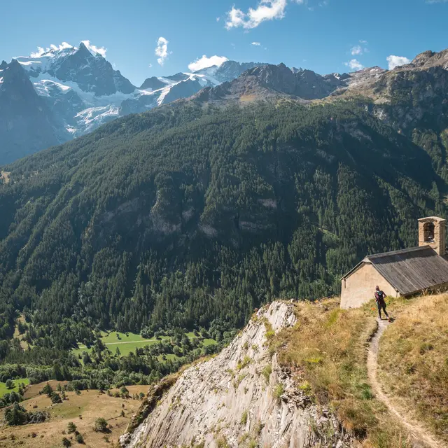
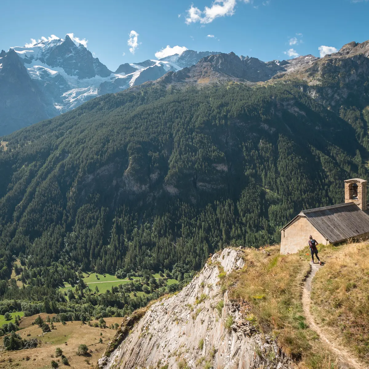
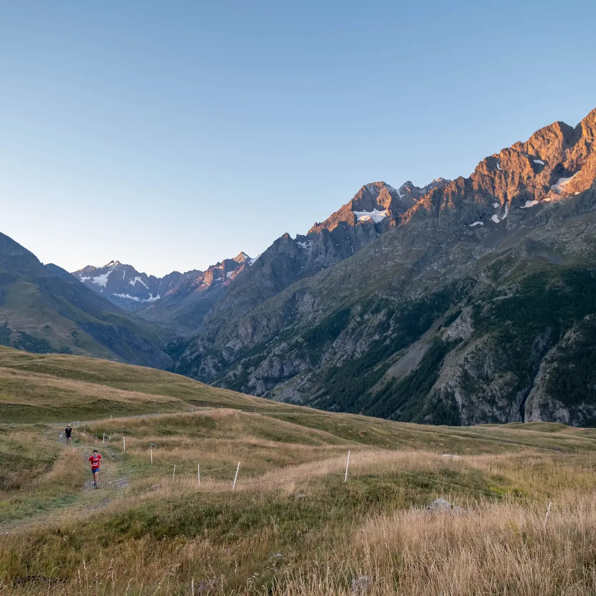
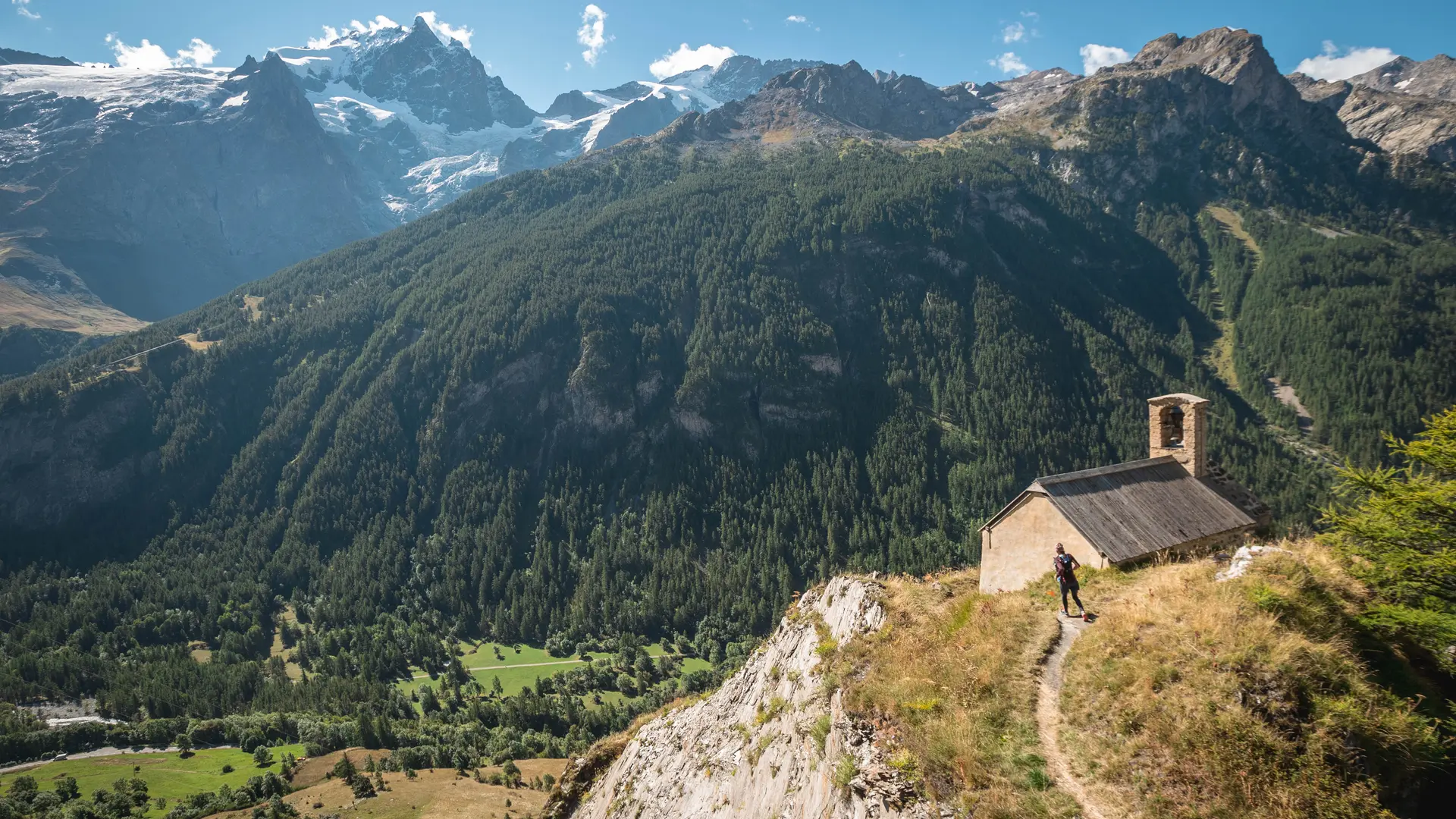
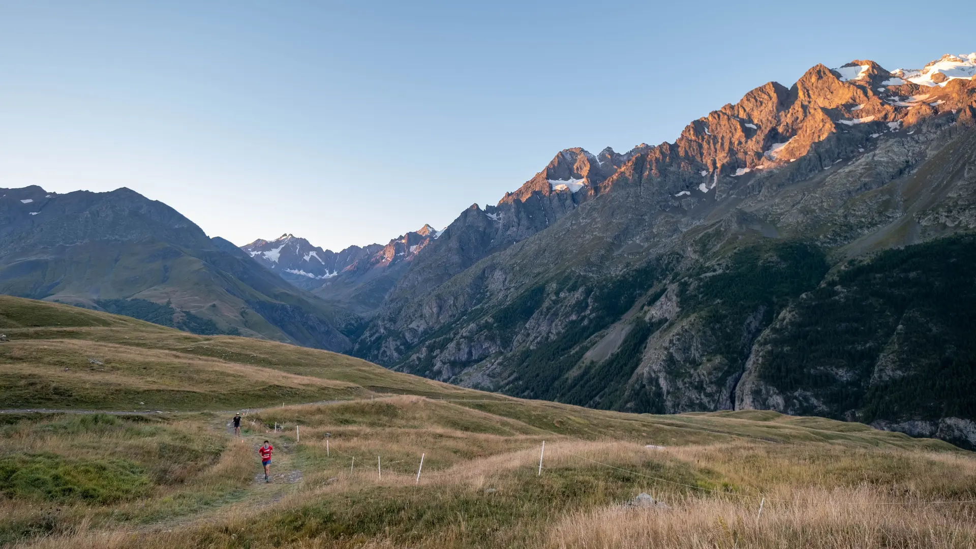
This trail is a marathon that will lead you through secluded areas in the Meije County.
This demanding route, at an altitude of over 1600 metres, follows the same paths as the 26 Km route, but then branches off onto a small, very steep path to reach the famous Emparis plateau.
In September, this mountain plateau bears a striking resemblance to the famous South American altiplano. A loop on this plateau takes you to two mountain lakes with views of the Écrins massif. Finally, a long descent takes you to the finish in the village of La Grave.
ATTENTION: The path linking Villar d'Arène to La Grave via the Romanche (lower path) is closed following the collapse of part of the path. The Ecrins National Park has not yet announced a date for its reopening. Access from the top (Les Vernois) is possible.