


Toulon Mountains Circuit

  • Sport
  • Cycling sports
  • Cycle tourism route
Office de Tourisme de Saint-Cyr-sur-Mer, Place de l'appel du 18 juin, Les Lecques, 83270 Saint-Cyr-sur-Mer

Description

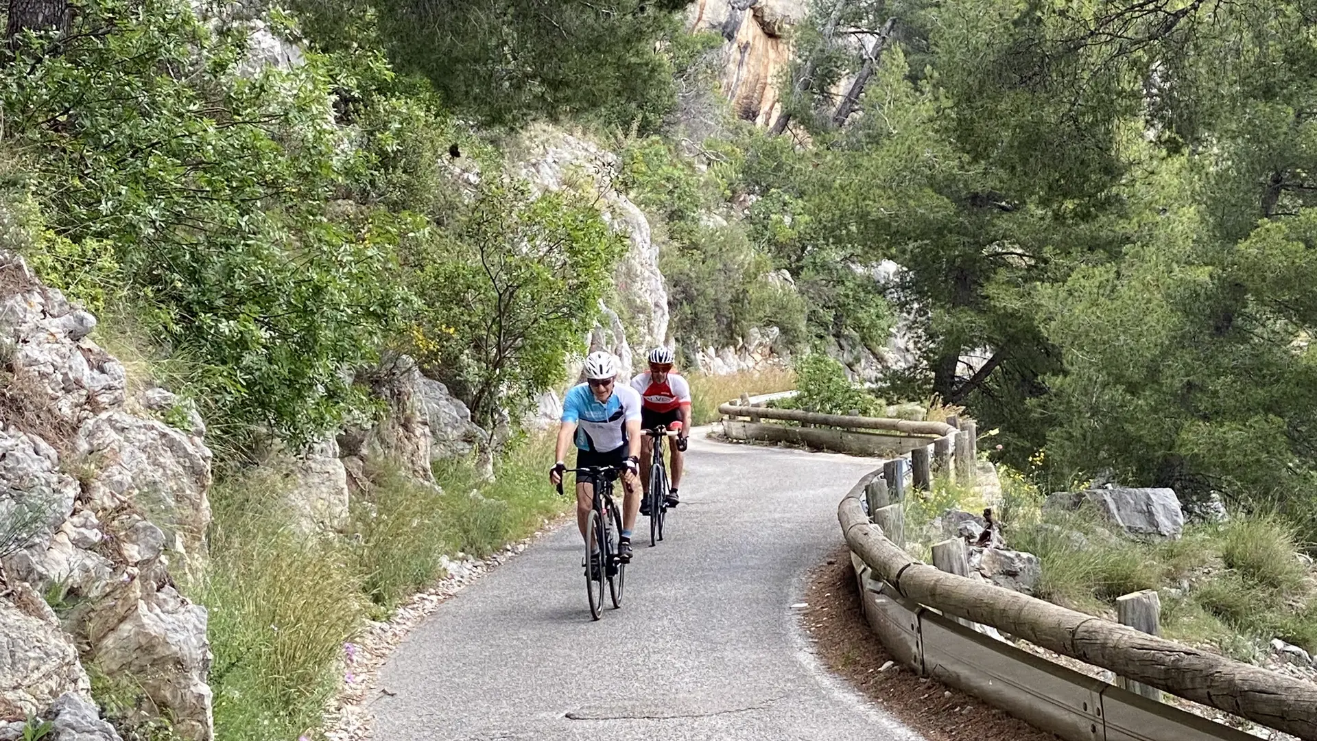
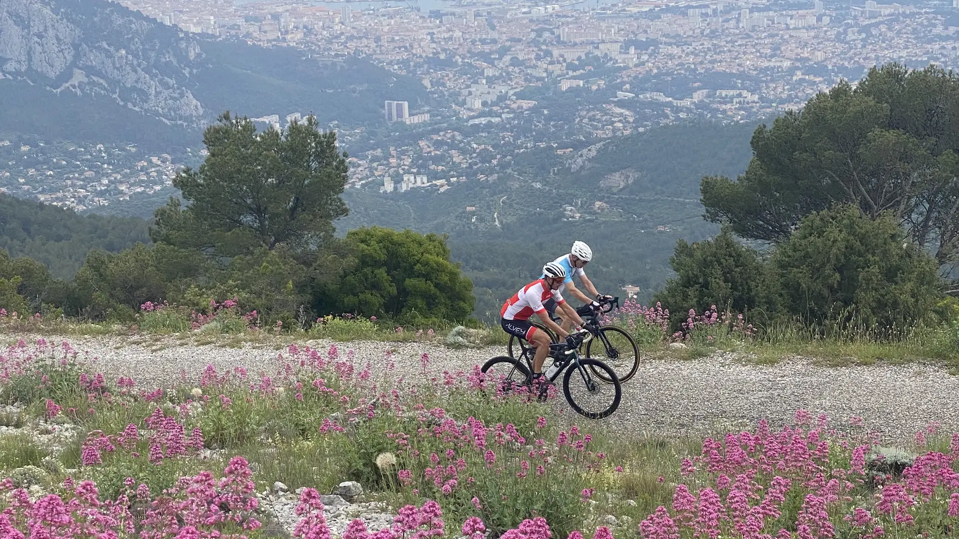
Departing from the Saint-Cyr-sur-Mer Tourist Office, this 95 km route (+2430 m) links Mont Faron, Mont Coudon and Mont Caume. A demanding and spectacular loop, reserved for trained cyclists in search of great challenges and exceptional panoramas.
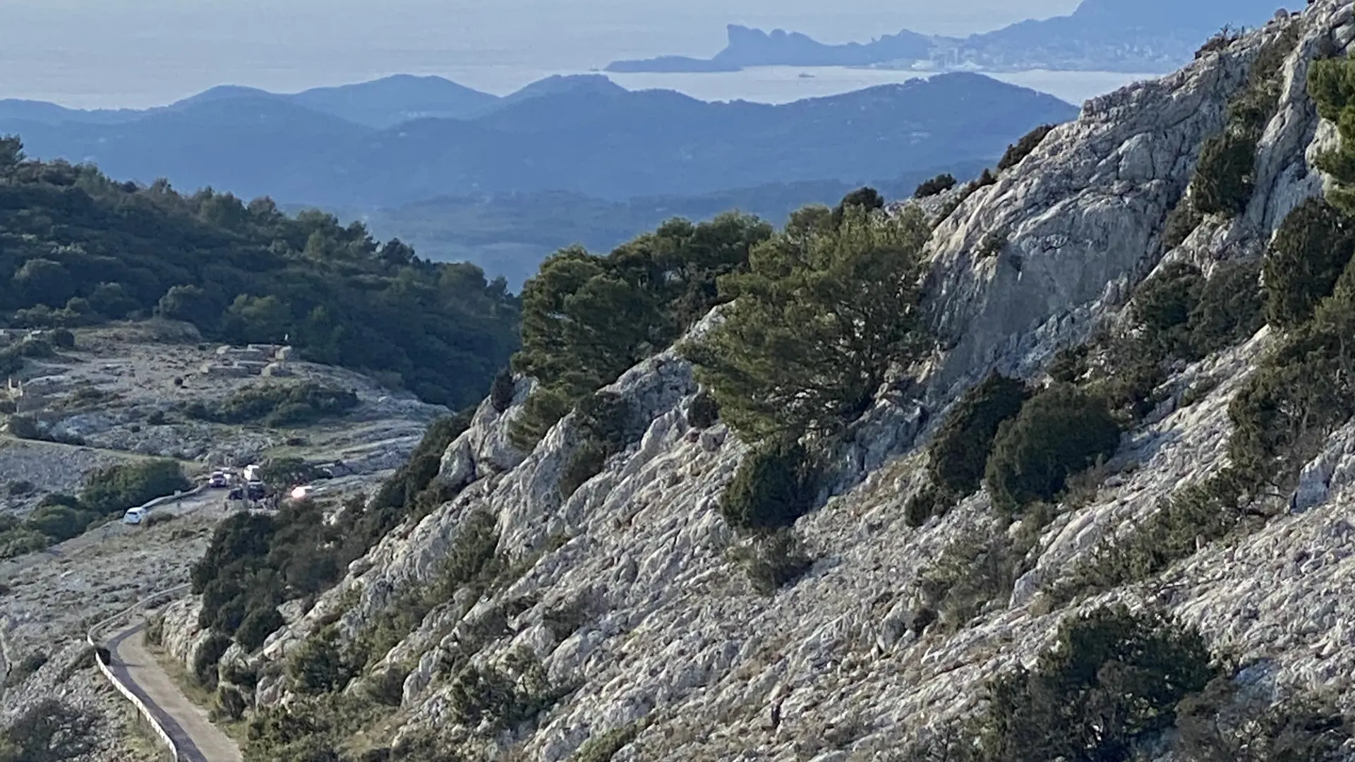
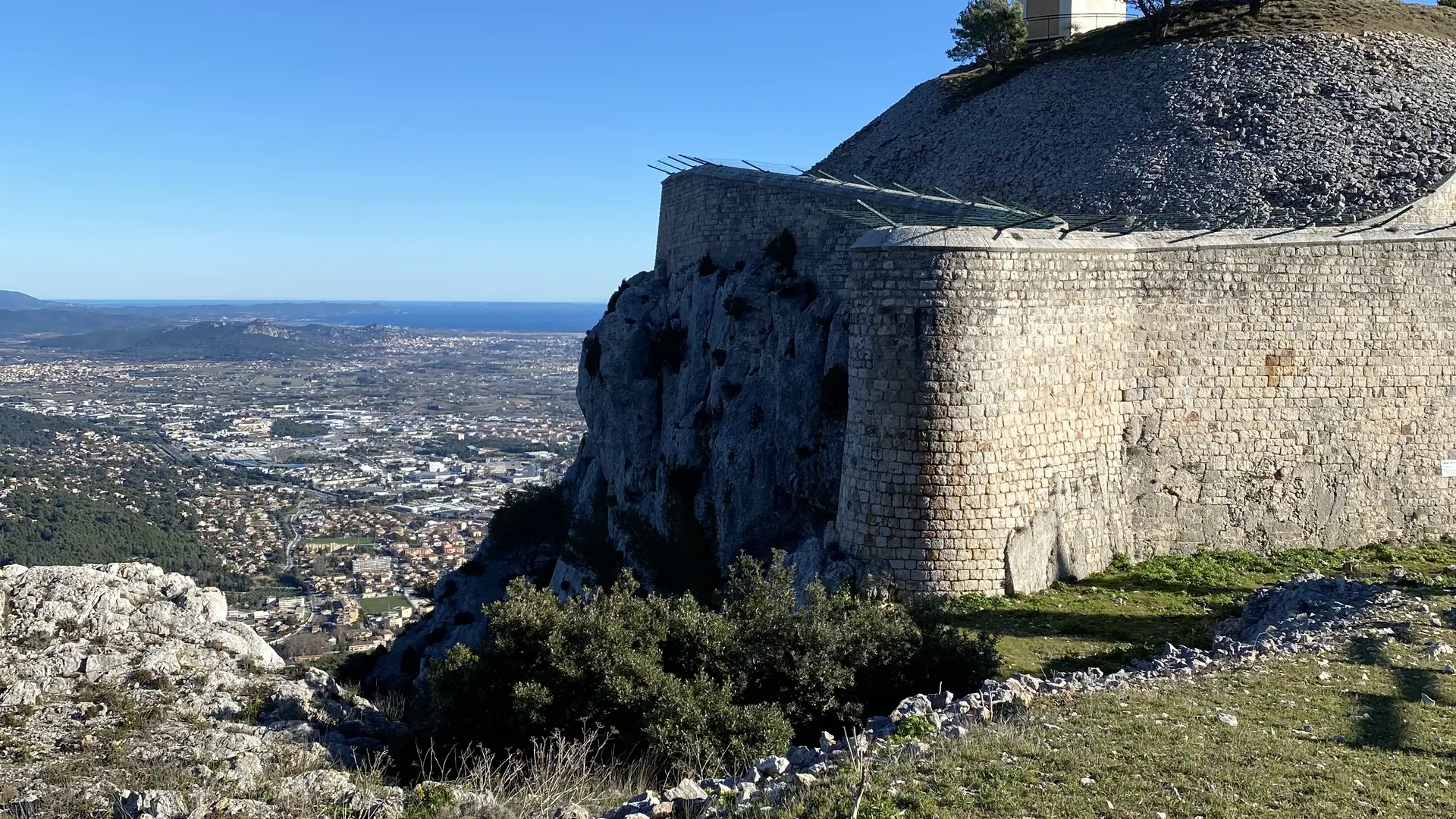
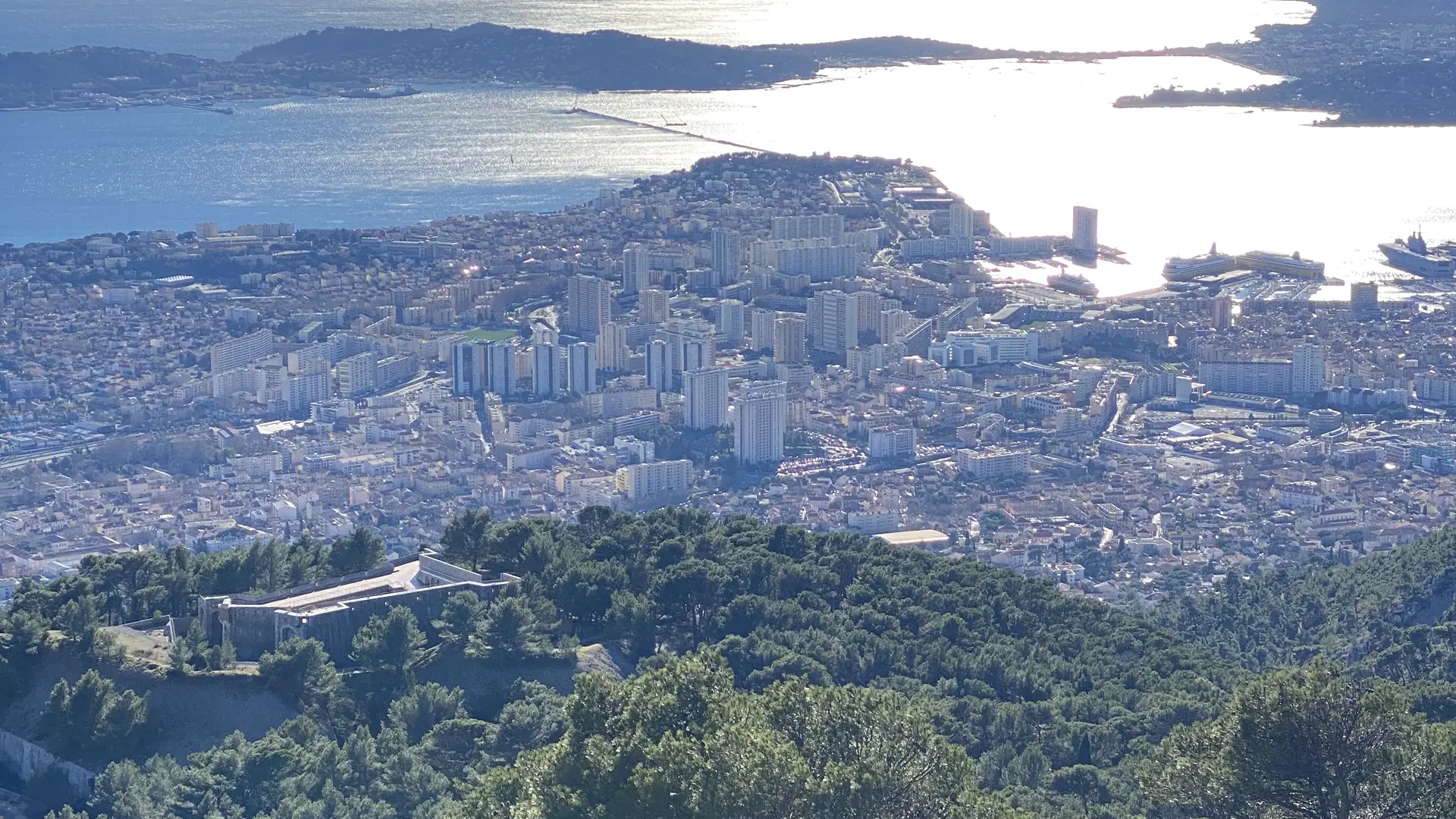
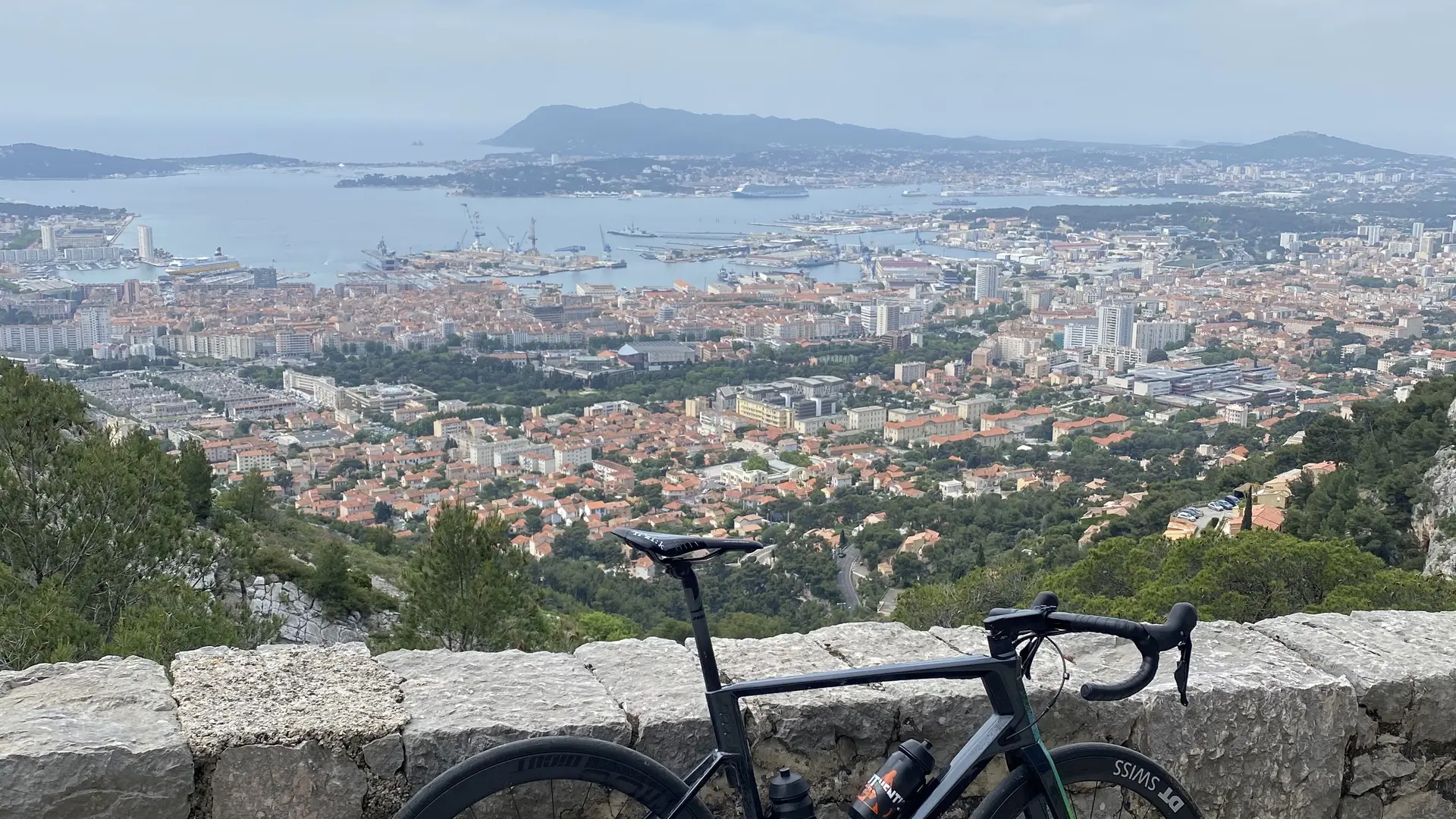
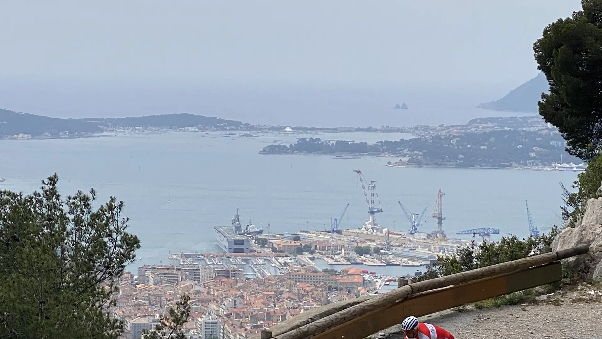
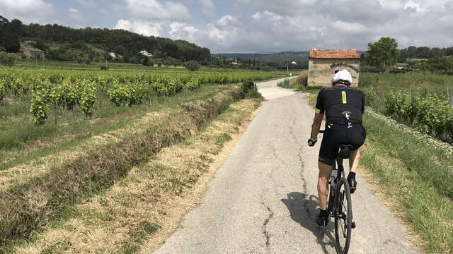
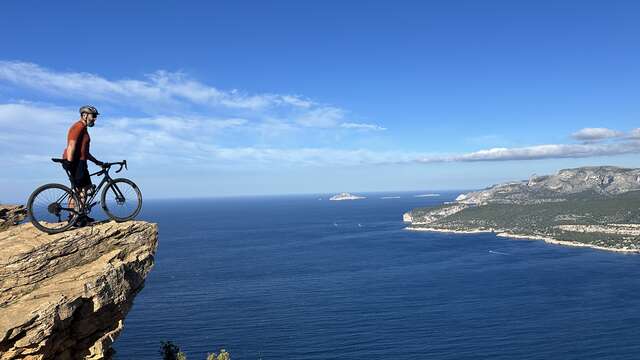
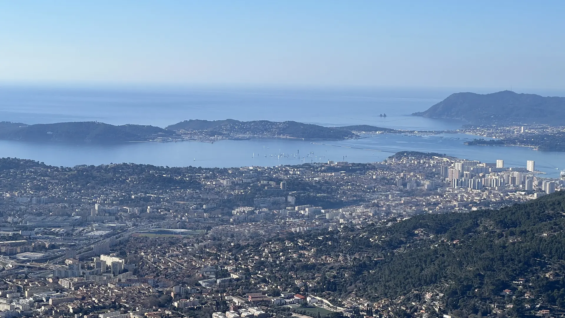
- Distance: 95 km - Ascent and descent: +2430m - Duration: 4h30 min - Difficulty: 3/3 Departure point: Saint-Cyr-sur-Mer Tourist Office This major route is for seasoned cyclists looking for a complete challenge, combining endurance, effort management and spectacular scenery. From Saint-Cyr-sur-Mer, the route gradually leaves the coast and enters the Var hinterland, heralding a demanding day. The first major climb leads to Mont Faron, the emblematic lookout point overlooking Toulon, where the one-way road rises steadily before offering breathtaking views over the harbor. The route then continues on to Mont Coudon, a wilder massif with more accessible slopes, saving energy for the final ascent. Finally, the last part of the route leads to Mont Caume, the highest point of the itinerary and of the Toulon mountains. This final ascent, the longest and most demanding, concludes the route with a sustained effort, rewarded by panoramic views over Provence and the Mediterranean. Watch out for the quality of the tarmac in the last 5 km. With more than 2,400 meters of positive altitude difference, this 3/3 difficulty route is a benchmark road bike outing: committed, demanding and spectacular, reserved for trained cyclists wishing to cover the major hills of Toulon in a single loop.

Plain text period

All year round daily.
Filter search
Page types
  • All
  • Articles
  • Agenda
  • Lists