See photos (3)

Tour de Praconteau

Sport, Pedestrian sports, Hiking itinerary in Peyruis
14.0 km
5h
Hard
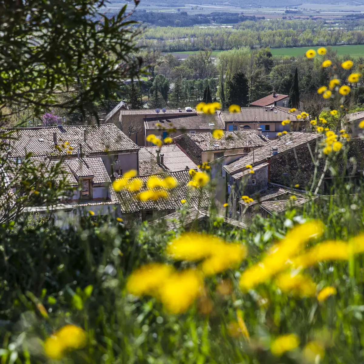
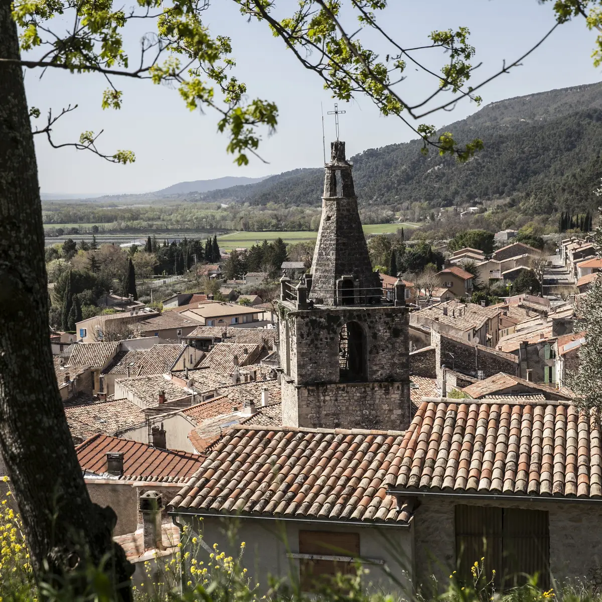
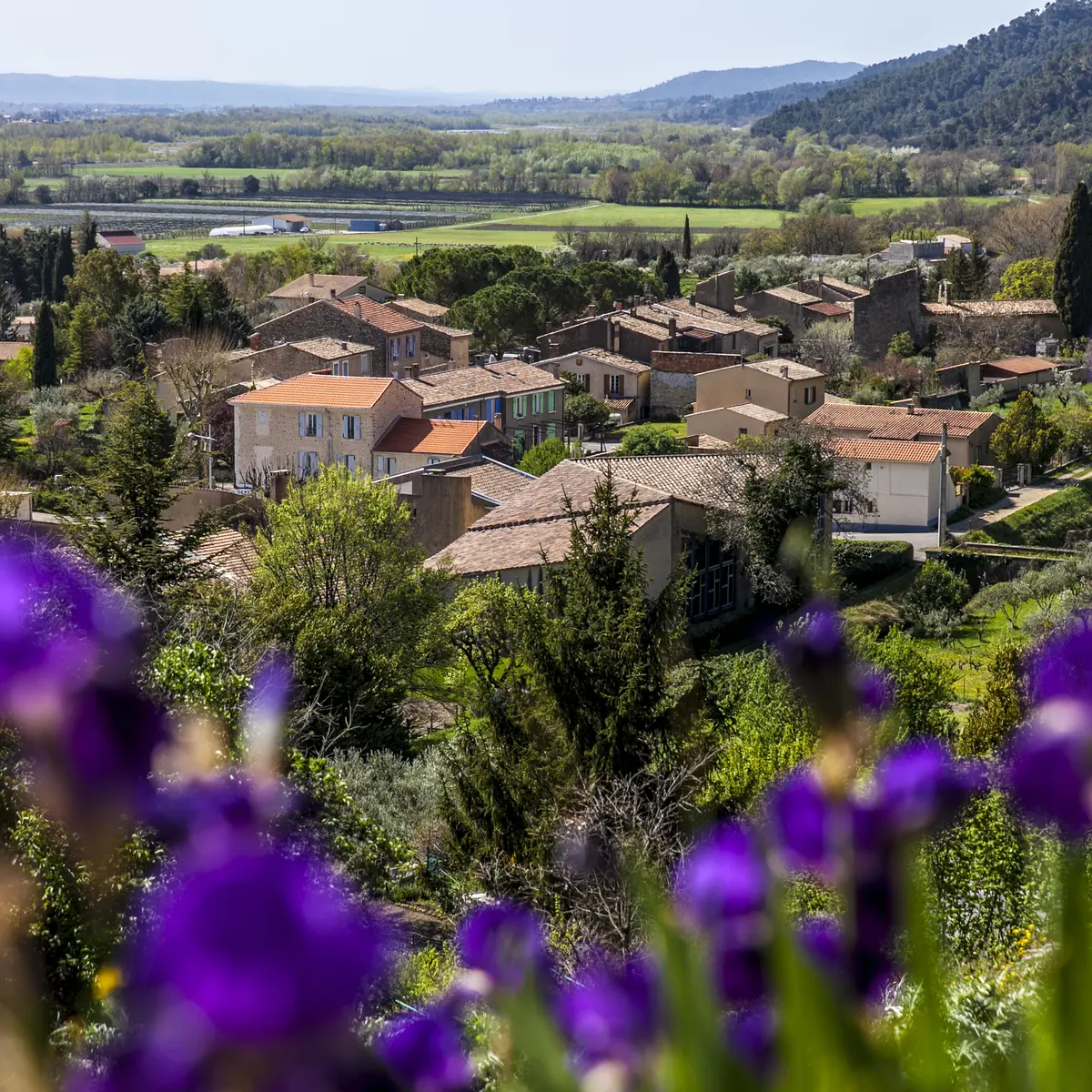
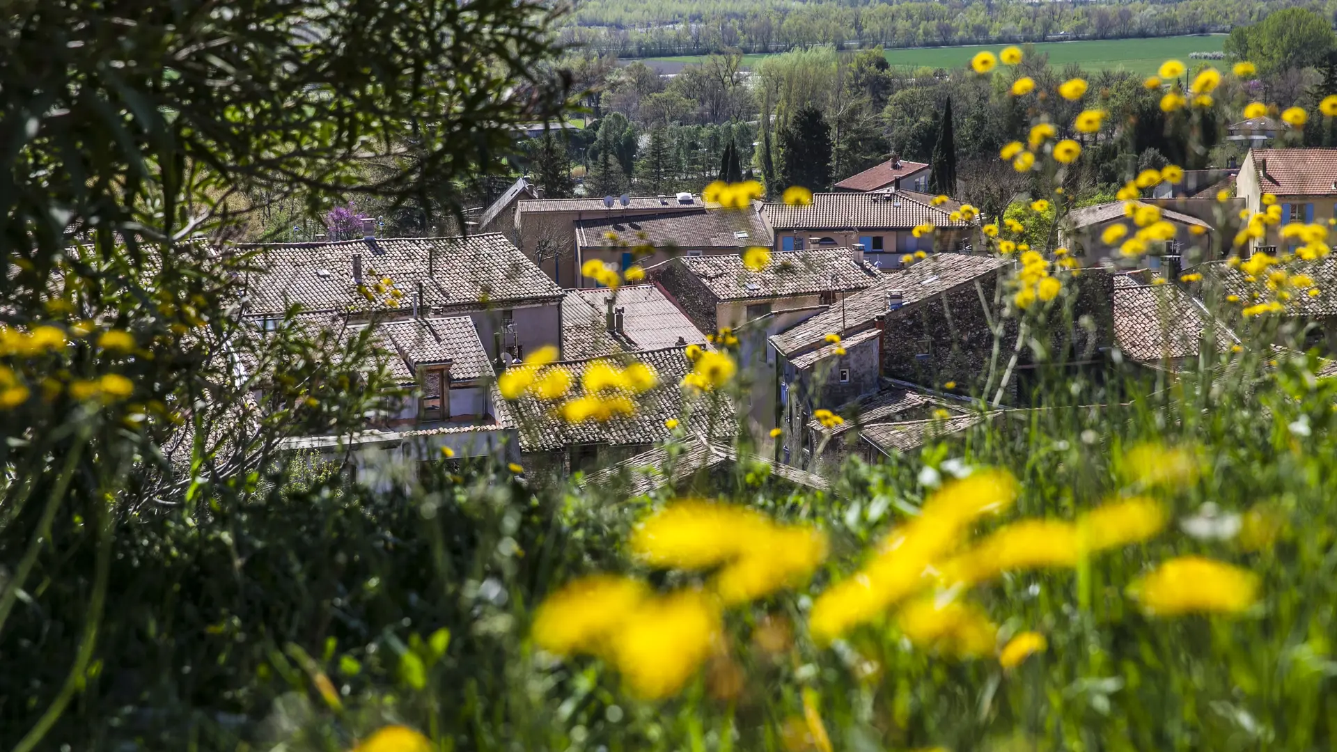
  • This forest circuit allows you to discover the many facets of the Peyruis massif, recognized as a "Natural Area of ​​Faunistic and Floristic Ecological Interest" by scientists.

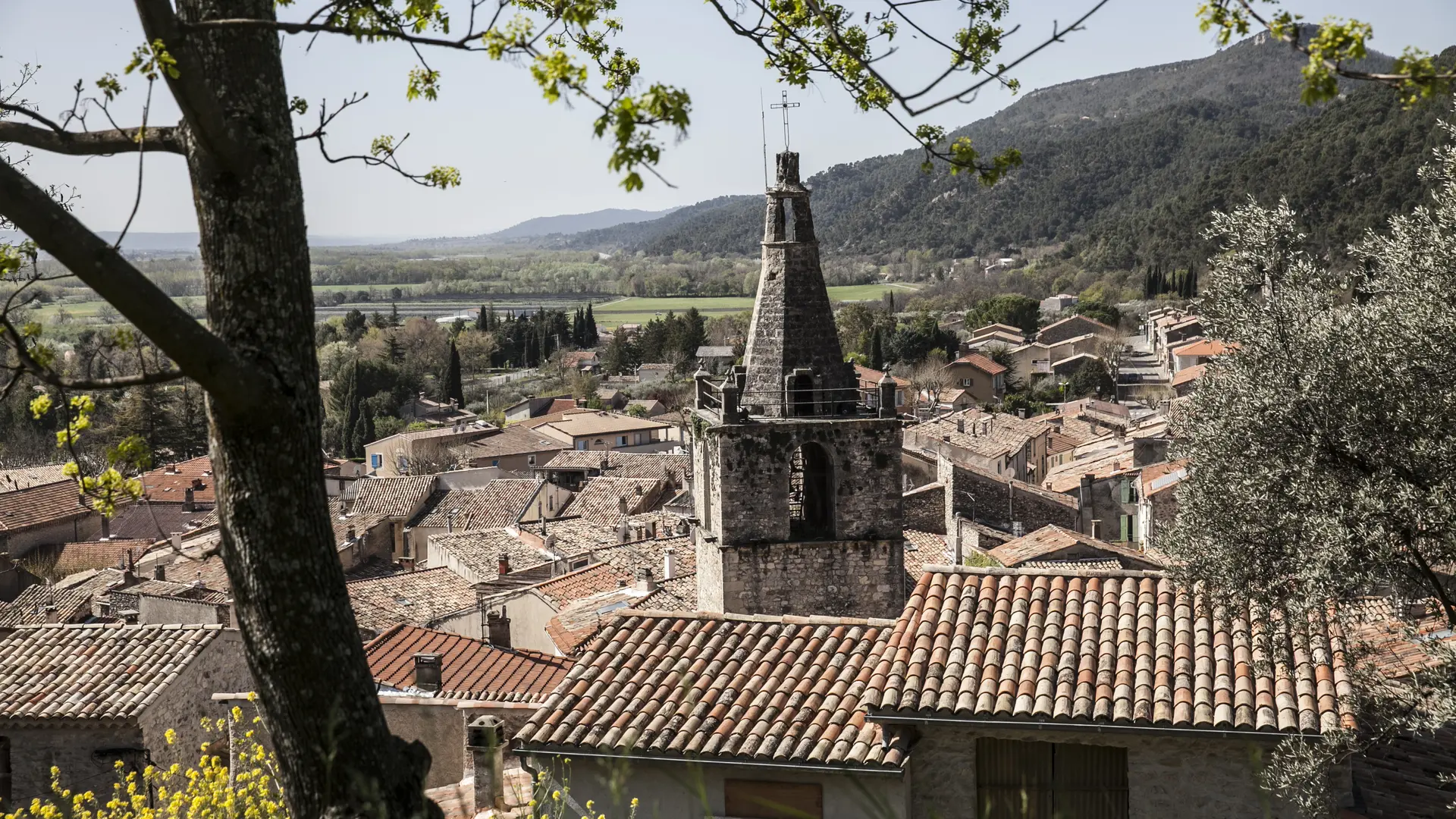
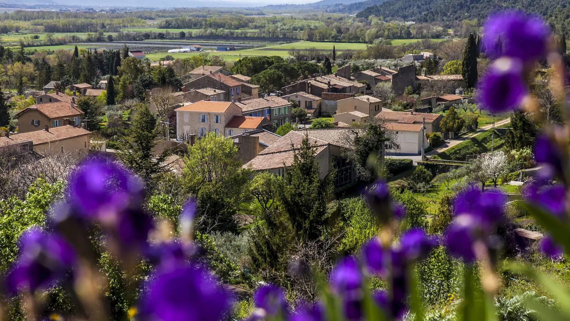
  • Departure in front of the town hall of Peyruis. Starting from the town hall, first cross the old village of Peyruis. At the top of it, the markings follow in the middle of the olive groves, the small road of the Martrons for 200m, then a track on the right until the collar of Piozin, marked by a stone planted in 1885.
  • Departure
    Peyruis
  • Difference in height
    506.724 m
  • Environment
    • Forest location
    • In the country
    • Village centre
  • Spoken languages
    • French
  • Documentation
    GPX / KML files allow you to export the trail of your hike to your GPS (or other navigation tool)
507 meters of difference in height
  • Maximum altitude : 770 m
  • Minimum altitude : 401 m
  • Total positive elevation : 507 m
  • Total negative elevation : -507 m
  • Max positive elevation : 221 m
  • Min positive elevation : -270 m
Services
  • Equipment
    • Free car park
    • Car park
    • Public WC