Ubaye - Pays du Viso en 2 jours (GRP®) : Tour du Soubeyran

Ubaye - Pays du Viso in 2 days (GRP®): Tour du Soubeyran

Sport, Pedestrian sports, Hiking itinerary in Val d'Oronaye
29.2 km
Very difficult
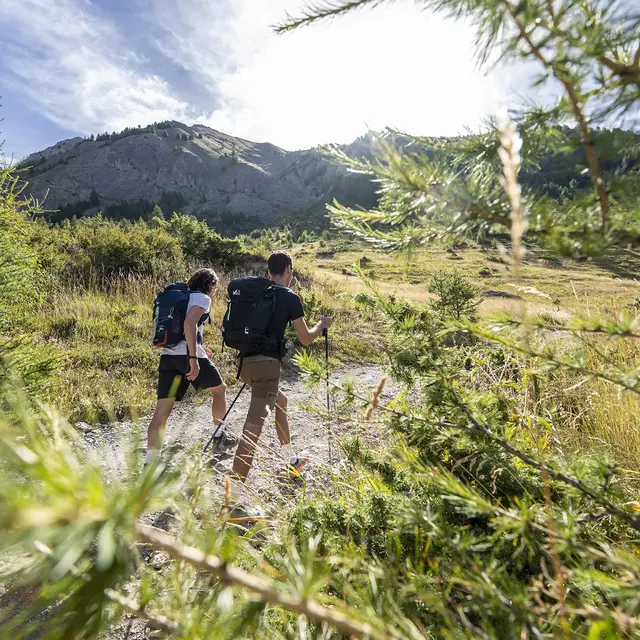
  • The GRP® Ubaye - Pays du Viso consists of a network of cross-border routes between France and Italy, lasting 2 to 6 days, which guide you on a journey of discovery through the Chambeyron - Oronaye massif and its riches.

  • This sheet describes the 2-day Tour du Soubeyran. Discover a 2-day cross-border route connecting Chiappera and Larche.
  • Accepted customers
    • Level black - very hard
2110 meters of difference in height
  • Maximum altitude : 2652 m
  • Minimum altitude : 1560 m
  • Total positive elevation : 2110 m
  • Total negative elevation : -2110 m
  • Max positive elevation : 450 m
  • Min positive elevation : -779 m
Services
  • Services
    • Pets welcome