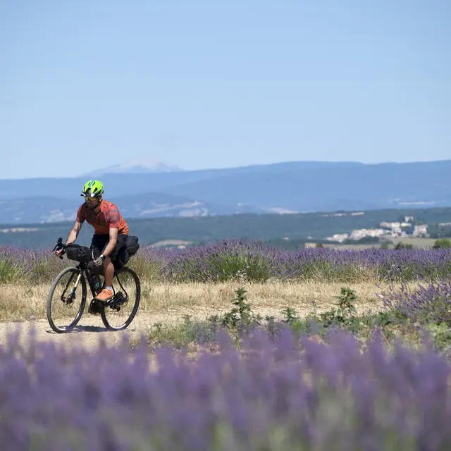
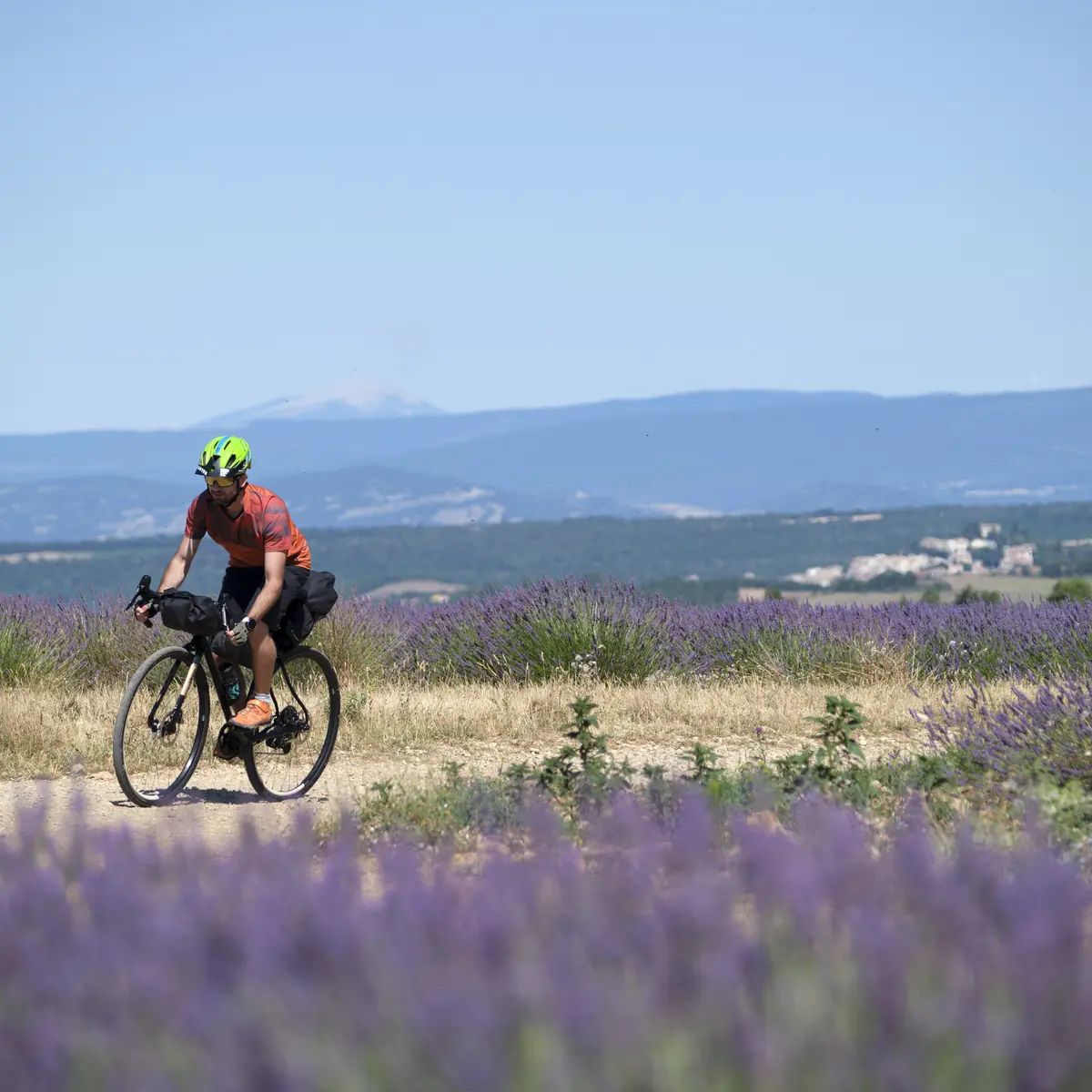
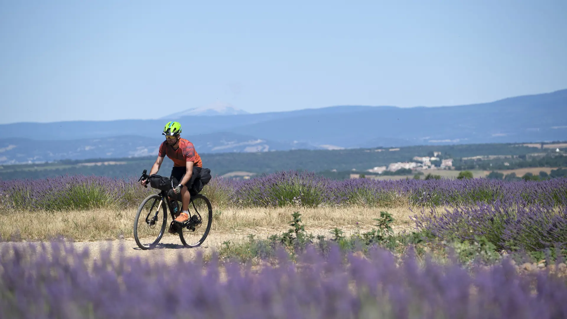
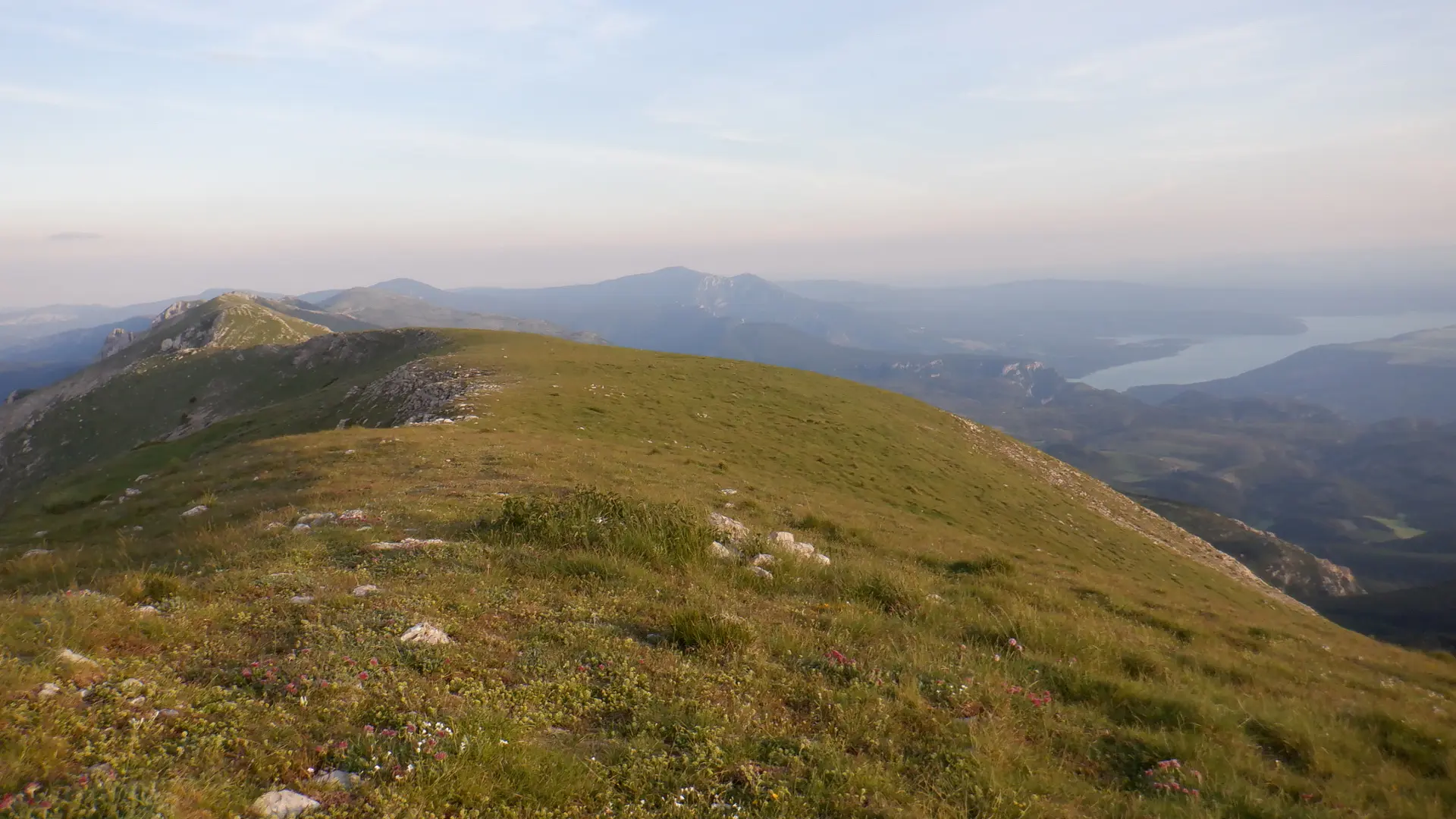
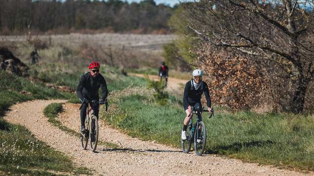
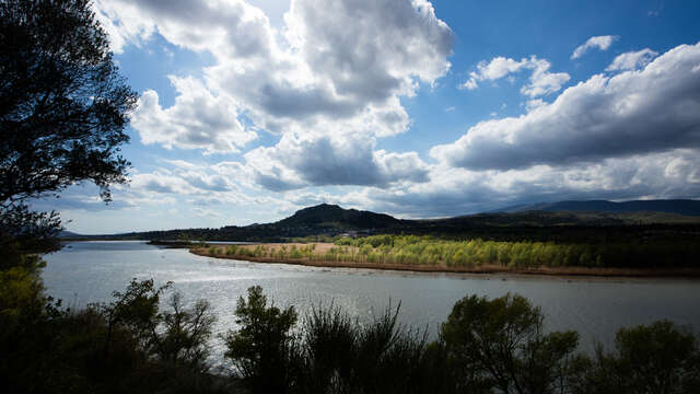
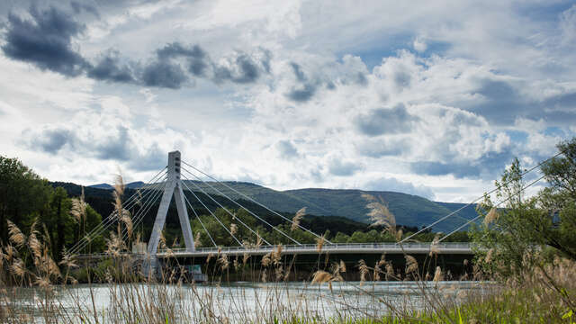
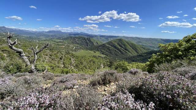
Gravel n°G4 - Grand tour rive droite de la DuranceHandlebar adventurers, set off from Château-Arnoux for a total immersion into Haute-Provence. This Gravel circuit begins toward the airfield, where the silent ballet of gliders...
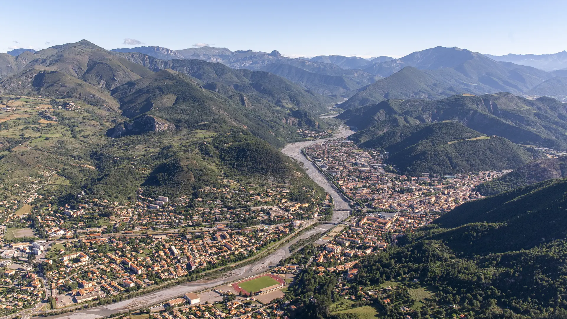
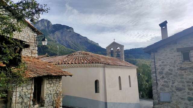
Château-Arnoux-Saint-Auban