At an altitude of 2,637 metres, the Col du Parpaillon can be accessed only part of the year depending on snow conditions. In winter, during heavy snowfalls the Col du Parpaillon path is obstructed, it is therefore essential to check the weather conditions and the dates of the site’s closure before your visit. The ascent of the Col du Papaillon can be done by the south-east side (from Condamine Chatelard) and on the north side (from Chalp de Crévoux).
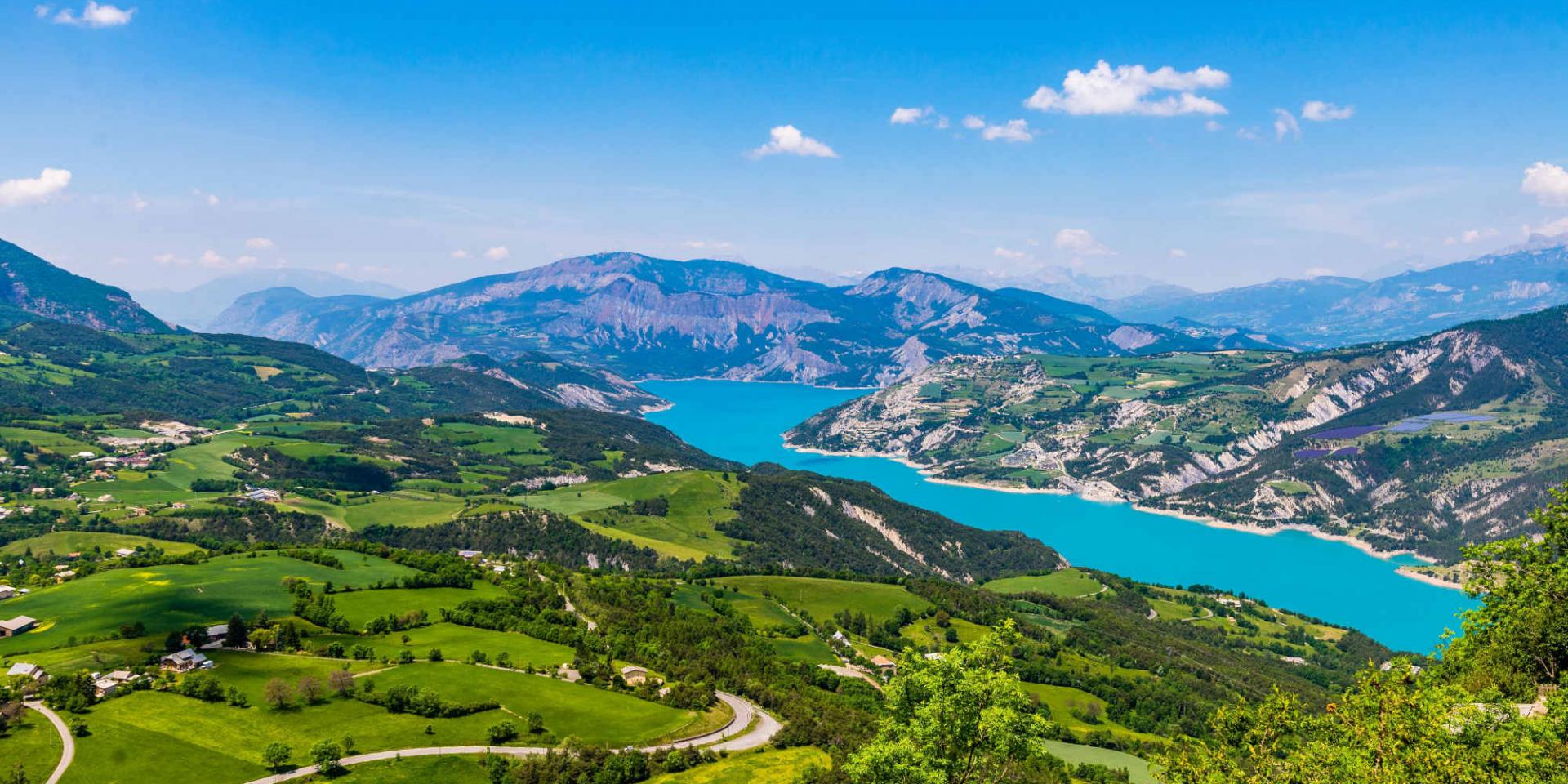
 Lac De Serre Ponçon
The Col du Parpaillon
The Col du Parpaillon by bike
The Col du Parpaillon is a major cycling destination, and many tourists venture there every year. Starting from Condamine Chatelard, the climb to the Col du Parpaillon is nearly 17 kilometres. To climb the pass and reach its summit, you will have to overcome a height offset of 1,355 metres with an average slope of 7.87% and a maximum of 10%. Only once you have passed through the emblematic Parpaillon tunnel will you reach the highest point of your journey, at 2,637 metres high.
At the top of the road connecting Condamine Chatelard to Crévoux, the upper part of the road is particularly rocky and difficult to ride on. Mountain bikes are therefore strongly recommended for this ascent. In some places, the slope may be so rough and winding that the descent by mountain bike is only recommended for the most experienced cyclists. But it is strongly recommended that you do it on foot. On the descent of the northwestern slope, you will have to reach the Réal Bridge and the Cabane des Espagnols to go back to a perfectly smooth concrete road.
A military history
The military road to the Col du Parpaillon was built under the supervision of the General Baron Berge. Its construction required no less than 10 years and was only completed in 1901. Indeed, the very high altitude and the meteorological difficulties caused by the heavy snowfalls made it possible to build the tunnel only for a few months a year. At the top of the Col du Parpaillon, its tunnel made up at the time a strategic passage for the military troops who had to go to the upper Ubaye.
Today, cyclists, motorcyclists, hikers and motorists pass by on this emblematic road in a wild and grandiose landscape. Initially inaugurated by one of the emblematic figures of cycle touring, Paul de Vivie, also known as Vélocio, today the Col du Parpaillon has become a legendary mountain bike trail. Another reason for its popularity is that it is one of the highest passes in France and Europe, reaching an altitude of 2,637 metres.
Voir cette publication sur Instagram
Voir cette publication sur Instagram
Tourist Features
By hiking or biking, the ascent of the Parpaillon pass will offer you a spectacular view – at its summit but also on the way up – of the alpine plateau. The landscapes that can be seen in the humorous film ‘Parpaillon’ by the well-known Luc Mollet, give a glimpse of the fauna and flora diversity of this no less famous Col du Parpaillon. From the north side as well as from the south side, you will be able to admire green alpine landscapes at the beginning of the trail, then, as you get higher, the landscape will become rockier and more minerals. Without any trace of civilisation as far as can be seen, many are the visitors seeking the pure air of the mountain and this haven of peace amidst nature.
The Col du Parpaillon is also a strategic location near many tourist places in Provence. If you plan to stay in the area, you can discover all the places of interest nearby all while hiking through the many passes of the Southern Alps. Also located in the Parpaillon massif, the ski resort of Les Orres is a great place to visit. The resort can be reached by the Parpaillon tunnel, this road is, however, only reserved for 4×4 vehicles.
In the Ubaye Valley, vacationers can take advantage of the Serre-Ponçon lake for a relaxing break on the water’s edge. In summer, it is very pleasant to practise all kinds of water activities such as kayaking, rafting or sailing. While walking up the banks of the lake, you will be able to see the famous dam of Serre-Ponçon which is well worth a visit.