Today the Parpaillon tunnel can be freely accessed, only part of the year depending on the weather conditions. The road linking Crévoux to Condamine Châtelard is the only way to access the tunnel, so when it is closed, the road is not open to motorised vehicles. Before your visit, it is therefore essential to find out about snow conditions and the closure dates of the Col du Parpaillon Road. The tunnel can be accessed from the south side (from Condamine Chatelard) and from the north side (from Chalp de Crévoux).
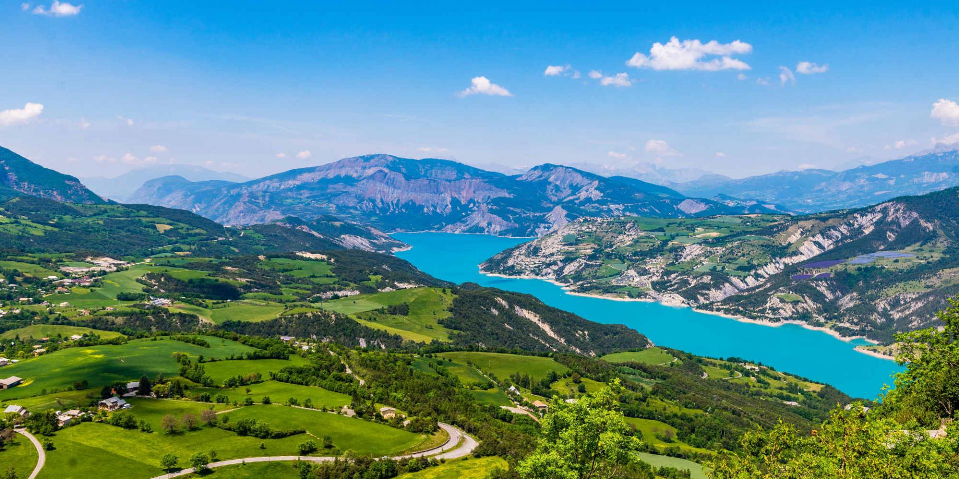
 Lac De Serre Ponçon
The Parpaillon Tunnel
A Look Into History
The Parpaillon Pass and its iconic tunnel are among the highest passes in the Alps and in France. Initially, the purpose of the tunnel construction project was to facilitate the movement of military troops between the Ubaye and Embrun valleys. The roads linking the Alpine valleys were in such poor condition that troop transits was both long and perilous. Thus, the tunnel represented a strategic opportunity to reduce transportation time and to make the town of Crévoux and Condamine Châtelard communicate more easily. It was therefore decided to dig the tunnel 195 metres below the highest point of the pass, at an altitude of 2,783 metres, to facilitate the transit. It was in 1890, under the supervision of the General Baron Berge, that the construction of the tunnel was initiated. It was no less than 10 years later, in 1901, that the tunnel was completed.
Today, for many people, the Parpaillon pass has become a major place for bicycle touring in the area. Reason for that is that it was an emblematic figure of this discipline who inaugurated the Parpaillon pass trail for the first time: Paul de Vivie, also known as Vélocio. This is undoubtedly one of the many reasons that explain the attraction and popularity of the Parpaillon pass for many visitors. Today, many people want to follow in the footsteps of Paul de Vivie and discover the sensations of this unique climb in the Parpaillon massif.
The Parpaillon tunnel by bike
The Parpaillon Pass is an iconic place for bicycle touring in the region. In order to get to the top of the Parpaillon Pass, you will need to take the military road that leads to it. You can access the tunnel from the north slope as well as from the south slope. Each slope offers you very singular points of view. From the north slope you will be able to enjoy green pastures and mountain meadows and on the south slope you will be able to admire a rockier and more mineral panorama. The military road that leads to the tunnel has not been maintained for many years and its condition leaves much to be desired. Indeed, to take this path it is rather advised to use a mountain bike as the track is rocky and sinuous.
Starting from the southern slope, the ascent of the Parpaillon pass represents about 18 kilometres from the beginning of the trail. The route will require you to overcome a height offset of about 1,355 metres. The ascent will not be easy since the slopes will sometimes be rough and sometimes be softer. On this trail the average slope is 7.87% and will reach a maximum of 10%.
The descent on the north side is also a tumultuous one. The military road on the northern slope of the Durance valley stretches for almost 30 kilometres before reaching the hamlet of Chalp (‘Hameau de Chalp’). For this descent you can expect a difference in altitude of 1840 metres, with an average slope of 7% which will reach a maximum of 10%. Once you have started your descent, you will be able to refuel at the bottom of the path, towards the hut of the Spaniards and the Réals Bridge. This hut marks the beginning of a paved road and announces a more pleasant end of the route.
Voir cette publication sur Instagram
Prepare Your Ascent
The tunnel is on free access and is only open during the summer period. Indeed, due to the high altitude it is only possible to access the tunnel when the weather conditions allow it. Before planning your ascent, it is therefore essential to find out when the tunnel is open and when it is closed. Past a specific date, the road is no longer accessible to motorised vehicles, but remains accessible to people wishing to hike. As the road is in very poor condition, it is strongly recommended that you use an all-terrain vehicle.